Distance to Bridger, South Dakota

Calculating Your Route
Just a moment while we process your request...
Location Information
-
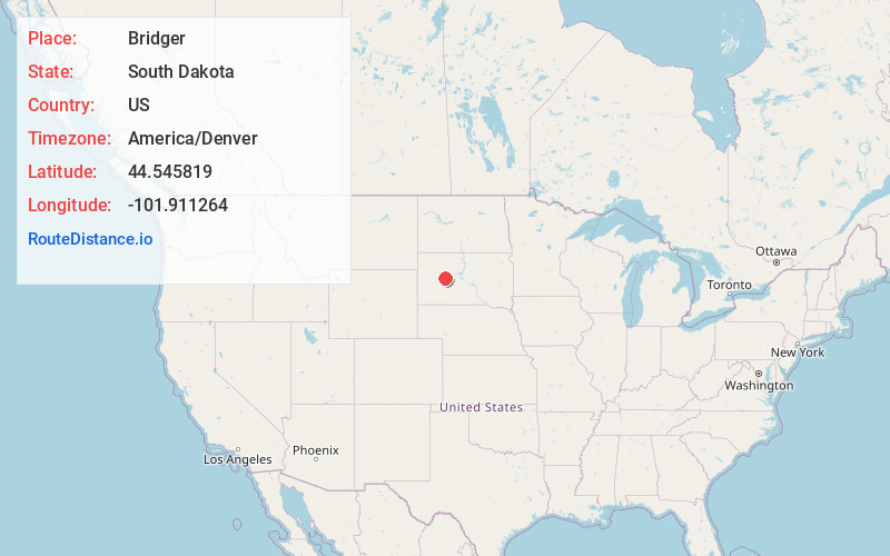
Full AddressBridger, SD 57553
-
Coordinates44.5458193, -101.911264
-
LocationBridger , South Dakota , US
-
TimezoneAmerica/Denver
-
Current Local Time10:39:37 AM America/DenverFriday, June 20, 2025
-
Page Views0
About Bridger
Bridger is an unincorporated community and census-designated place in Ziebach County, South Dakota, United States, within the Cheyenne River Indian Reservation. The population was 48 at the 2020 census. It was first listed as a CDP prior to the 2020 census.

Nearby Places
Found 9 places within 50 miles

Cherry Creek
20.7 mi
33.3 km
Cherry Creek, SD
Get directions

Faith
33.5 mi
53.9 km
Faith, SD 57626
Get directions

Philip
37.0 mi
59.5 km
Philip, SD 57567
Get directions
Dupree
37.9 mi
61.0 km
Dupree, SD 57623
Get directions
Quinn
40.0 mi
64.4 km
Quinn, SD 57775
Get directions

Cottonwood
40.0 mi
64.4 km
Cottonwood, SD 57775
Get directions

Wall
41.6 mi
66.9 km
Wall, SD 57790
Get directions

Eagle Butte
45.6 mi
73.4 km
Eagle Butte, SD 57625
Get directions

Midland
49.7 mi
80.0 km
Midland, SD 57552
Get directions
Location Links
Local Weather
Weather Information
Coming soon!
Location Map
Static map view of Bridger, South Dakota
Browse Places by Distance
Places within specific distances from Bridger
Short Distances
Long Distances
Click any distance to see all places within that range from Bridger. Distances shown in miles (1 mile ≈ 1.61 kilometers).