Distance to Wall, South Dakota

Calculating Your Route
Just a moment while we process your request...
Location Information
-
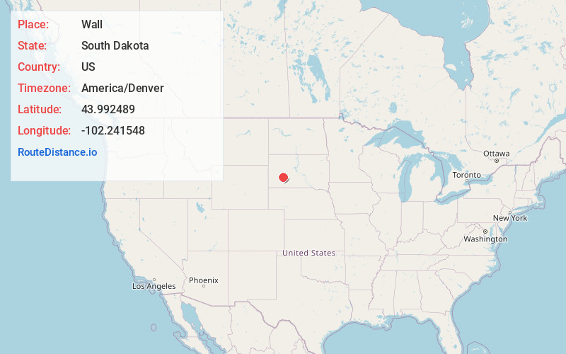
Full AddressWall, SD 57790
-
Coordinates43.9924889, -102.2415477
-
LocationWall , South Dakota , US
-
TimezoneAmerica/Denver
-
Current Local Time11:35:06 AM America/DenverTuesday, June 24, 2025
-
Page Views0
About Wall
Wall is a town in Pennington County, South Dakota, United States. The population was 699 at the 2020 census.


Nearby Places
Found 7 places within 50 miles

Kyle
39.3 mi
63.2 km
Kyle, SD 57752
Get directions

Wanblee
41.2 mi
66.3 km
Wanblee, SD 57577
Get directions

Box Elder
41.9 mi
67.4 km
Box Elder, SD
Get directions
Green Valley
43.3 mi
69.7 km
Green Valley, SD 57703
Get directions
Ashland Heights
44.9 mi
72.3 km
Ashland Heights, SD
Get directions
Rapid Valley
45.2 mi
72.7 km
Rapid Valley, SD 57703
Get directions

Rapid City
49.5 mi
79.7 km
Rapid City, SD
Get directions
Location Links
Local Weather
Weather Information
Coming soon!
Location Map
Static map view of Wall, South Dakota
Browse Places by Distance
Places within specific distances from Wall
Short Distances
Long Distances
Click any distance to see all places within that range from Wall. Distances shown in miles (1 mile ≈ 1.61 kilometers).