Distance to Bridgeton, Missouri

Calculating Your Route
Just a moment while we process your request...
Location Information
-
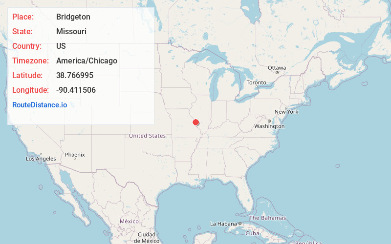
Full AddressBridgeton, MO
-
Coordinates38.7669954, -90.4115057
-
LocationBridgeton , Missouri , US
-
TimezoneAmerica/Chicago
-
Current Local Time4:45:55 AM America/ChicagoWednesday, June 18, 2025
-
Website
-
Page Views0
About Bridgeton
Bridgeton is a second-ring suburb of Greater St. Louis in northwestern St. Louis County, Missouri, United States. Bridgeton is located at the intersection of the St. Louis outer belt and I-70. Bridgeton serves as the primary transport hub within Greater St. Louis. The population at the 2020 census was 11,445.


Nearby Places
Found 10 places within 50 miles

Hazelwood
2.2 mi
3.5 km
Hazelwood, MO
Get directions

St Ann
2.8 mi
4.5 km
St Ann, MO
Get directions

Maryland Heights
3.9 mi
6.3 km
Maryland Heights, MO
Get directions

St Charles
3.9 mi
6.3 km
St Charles, MO
Get directions

Florissant
5.0 mi
8.0 km
Florissant, MO
Get directions

Overland
5.3 mi
8.5 km
Overland, MO
Get directions

Ferguson
5.9 mi
9.5 km
Ferguson, MO
Get directions

Creve Coeur
7.4 mi
11.9 km
Creve Coeur, MO
Get directions

Jennings
8.8 mi
14.2 km
Jennings, MO
Get directions

Old Jamestown
8.9 mi
14.3 km
Old Jamestown, MO
Get directions
Location Links
Local Weather
Weather Information
Coming soon!
Location Map
Static map view of Bridgeton, Missouri
Browse Places by Distance
Places within specific distances from Bridgeton
Short Distances
Long Distances
Click any distance to see all places within that range from Bridgeton. Distances shown in miles (1 mile ≈ 1.61 kilometers).