Distance to Brighton, Missouri

Calculating Your Route
Just a moment while we process your request...
Location Information
-
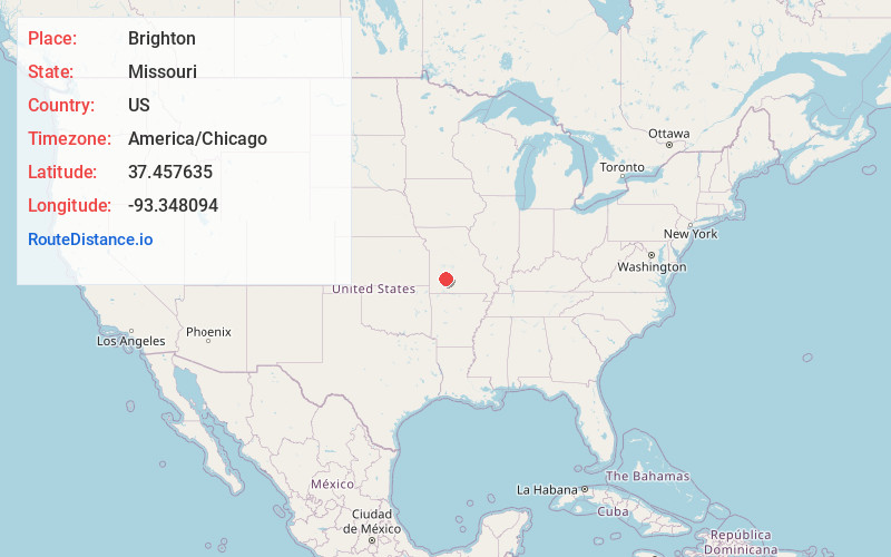
Full AddressBrighton, MO 65617
-
Coordinates37.4576349, -93.3480943
-
LocationBrighton , Missouri , US
-
TimezoneAmerica/Chicago
-
Current Local Time8:13:08 AM America/ChicagoSaturday, June 21, 2025
-
Page Views0
About Brighton
Brighton is an unincorporated community in southern Polk County, Missouri, United States. It is located at the intersection of Missouri Routes 13 and 215. James H.M. Smith Relay Station was just north of Brighton on the Butterfield Overland Mail Route.


Nearby Places
Found 10 places within 50 miles

Pleasant Hope
4.2 mi
6.8 km
Pleasant Hope, MO
Get directions

Morrisville
4.6 mi
7.4 km
Morrisville, MO 65710
Get directions
Slagle
5.4 mi
8.7 km
Slagle, East Looney Township, MO 65613
Get directions
Van
7.9 mi
12.7 km
Van, MO 65663
Get directions
Schofield
10.1 mi
16.3 km
Schofield, South Benton Township, MO 65663
Get directions

Eudora
10.5 mi
16.9 km
Eudora, MO 65601
Get directions
Harold
10.7 mi
17.2 km
Harold, Walnut Grove Township, MO 65770
Get directions

Bolivar
11.4 mi
18.3 km
Bolivar, MO 65613
Get directions

Willard
11.4 mi
18.3 km
Willard, MO
Get directions

Walnut Grove
11.5 mi
18.5 km
Walnut Grove, MO 65770
Get directions
Location Links
Local Weather
Weather Information
Coming soon!
Location Map
Static map view of Brighton, Missouri
Browse Places by Distance
Places within specific distances from Brighton
Short Distances
Long Distances
Click any distance to see all places within that range from Brighton. Distances shown in miles (1 mile ≈ 1.61 kilometers).