Distance to Brightwood, Virginia

Calculating Your Route
Just a moment while we process your request...
Location Information
-
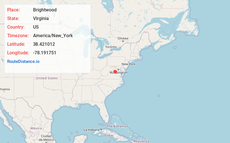
Full AddressBrightwood, VA
-
Coordinates38.4210124, -78.191751
-
LocationBrightwood , Virginia , US
-
TimezoneAmerica/New_York
-
Current Local Time6:39:26 PM America/New_YorkSunday, June 22, 2025
-
Page Views0
About Brightwood
Brightwood is a census-designated place in Madison County, Virginia. Its ZIP Code is 22715. The population as of the 2020 Census was 1,064.

Nearby Places
Found 10 places within 50 miles

Culpeper
11.2 mi
18.0 km
Culpeper, VA 22701
Get directions

Orange
12.9 mi
20.8 km
Orange, VA 22960
Get directions

Shenandoah National Park
14.7 mi
23.7 km
Shenandoah National Park, Virginia
Get directions

Gordonsville
19.6 mi
31.5 km
Gordonsville, VA 22942
Get directions

Stanley
19.9 mi
32.0 km
Stanley, VA 22851
Get directions

Piney Mountain
21.8 mi
35.1 km
Piney Mountain, VA 22911
Get directions

Luray
22.2 mi
35.7 km
Luray, VA 22835
Get directions

Elkton
23.4 mi
37.7 km
Elkton, VA 22827
Get directions

Bealeton
25.5 mi
41.0 km
Bealeton, VA 22712
Get directions

Louisa
29.2 mi
47.0 km
Louisa, VA 23093
Get directions
Location Links
Local Weather
Weather Information
Coming soon!
Location Map
Static map view of Brightwood, Virginia
Browse Places by Distance
Places within specific distances from Brightwood
Short Distances
Long Distances
Click any distance to see all places within that range from Brightwood. Distances shown in miles (1 mile ≈ 1.61 kilometers).