Distance to Louisa, Virginia

Calculating Your Route
Just a moment while we process your request...
Location Information
-
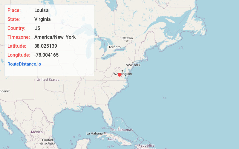
Full AddressLouisa, VA 23093
-
Coordinates38.0251394, -78.0041649
-
LocationLouisa , Virginia , US
-
TimezoneAmerica/New_York
-
Current Local Time1:47:44 PM America/New_YorkTuesday, July 1, 2025
-
Website
-
Page Views0
About Louisa
Louisa is a town in Louisa County, Virginia, United States. The population was 1,983 at the 2020 census. It is the county seat of Louisa County.


Nearby Places
Found 10 places within 50 miles

Orange
16.3 mi
26.2 km
Orange, VA 22960
Get directions

Lake Monticello
19.1 mi
30.7 km
Lake Monticello, VA 22963
Get directions

Pantops
23.7 mi
38.1 km
Pantops, VA
Get directions

Piney Mountain
24.0 mi
38.6 km
Piney Mountain, VA 22911
Get directions

Charlottesville
25.7 mi
41.4 km
Charlottesville, VA
Get directions
Lake Caroline
26.4 mi
42.5 km
Lake Caroline, VA 22546
Get directions

University of Virginia
27.4 mi
44.1 km
University of Virginia, Charlottesville, VA
Get directions

Culpeper
31.0 mi
49.9 km
Culpeper, VA 22701
Get directions

Wyndham
31.1 mi
50.1 km
Wyndham, VA 23059
Get directions

Short Pump
32.2 mi
51.8 km
Short Pump, VA
Get directions
Location Links
Local Weather
Weather Information
Coming soon!
Location Map
Static map view of Louisa, Virginia
Browse Places by Distance
Places within specific distances from Louisa
Short Distances
Long Distances
Click any distance to see all places within that range from Louisa. Distances shown in miles (1 mile ≈ 1.61 kilometers).