Distance to Briscoe, Missouri

Calculating Your Route
Just a moment while we process your request...
Location Information
-
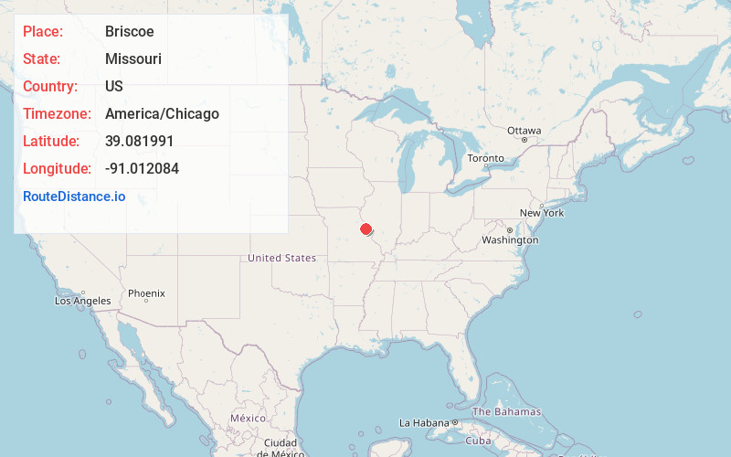
Full AddressBriscoe, MO 63379
-
Coordinates39.0819912, -91.0120842
-
LocationBriscoe , Missouri , US
-
TimezoneAmerica/Chicago
-
Current Local Time5:45:43 AM America/ChicagoThursday, June 12, 2025
-
Page Views0
About Briscoe
Briscoe is a small unincorporated community in Lincoln County, Missouri, United States.
The community sits on the east bank of the North Fork of the Cuivre River at the end of Missouri Route K two miles west of US Route 61.
Nearby Places
Found 10 places within 50 miles

Silex
3.6 mi
5.8 km
Silex, MO 63377
Get directions

Auburn
3.7 mi
6.0 km
Auburn, MO 63377
Get directions
Okete
4.5 mi
7.2 km
Okete, MO 63379
Get directions

Cave
4.6 mi
7.4 km
Cave, MO 63379
Get directions
Whiteside
7.1 mi
11.4 km
Whiteside, MO
Get directions

Troy
7.3 mi
11.7 km
Troy, MO
Get directions
South Troy
8.7 mi
14.0 km
South Troy, Clark Township, MO 63379
Get directions
Corso
9.8 mi
15.8 km
Corso, MO 63377
Get directions

Hawk Point
10.0 mi
16.1 km
Hawk Point, MO 63349
Get directions

Moscow Mills
10.6 mi
17.1 km
Moscow Mills, MO 63362
Get directions
Location Links
Local Weather
Weather Information
Coming soon!
Location Map
Static map view of Briscoe, Missouri
Browse Places by Distance
Places within specific distances from Briscoe
Short Distances
Long Distances
Click any distance to see all places within that range from Briscoe. Distances shown in miles (1 mile ≈ 1.61 kilometers).