Distance to Broadway, Ohio

Calculating Your Route
Just a moment while we process your request...
Location Information
-
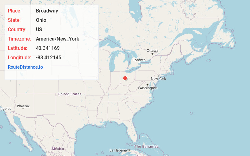
Full AddressBroadway, OH 43067
-
Coordinates40.3411693, -83.412145
-
LocationBroadway , Ohio , US
-
TimezoneAmerica/New_York
-
Current Local Time5:27:02 PM America/New_YorkWednesday, June 4, 2025
-
Page Views0
About Broadway
Broadway is an unincorporated community in western Taylor Township, Union County, Ohio, United States. It has a post office with the ZIP code 43007. It lies along State Route 347 between Raymond and Magnetic Springs.
Broadway was one of the last communities to be organized in Union County.
Nearby Places
Found 10 places within 50 miles

Raymond
2.9 mi
4.7 km
Raymond, OH 43067
Get directions

Otter
4.5 mi
7.2 km
Otter, Paris Township, OH 43040
Get directions

York Center
5.1 mi
8.2 km
York Center, OH 43067
Get directions
Fleetwood Park
6.7 mi
10.8 km
Fleetwood Park, Marysville, OH 43040
Get directions
Pottersburg
7.0 mi
11.3 km
Pottersburg, Allen Township, OH 43040
Get directions

Marysville
7.6 mi
12.2 km
Marysville, OH 43040
Get directions
Allen Center
7.7 mi
12.4 km
Allen Center, OH 43040
Get directions

Magnetic Springs
8.0 mi
12.9 km
Magnetic Springs, OH
Get directions
West Mansfield
8.2 mi
13.2 km
West Mansfield, OH 43358
Get directions

Richwood
8.5 mi
13.7 km
Richwood, OH 43344
Get directions
Location Links
Local Weather
Weather Information
Coming soon!
Location Map
Static map view of Broadway, Ohio
Browse Places by Distance
Places within specific distances from Broadway
Short Distances
Long Distances
Click any distance to see all places within that range from Broadway. Distances shown in miles (1 mile ≈ 1.61 kilometers).