Distance to Raymond, Ohio

Calculating Your Route
Just a moment while we process your request...
Location Information
-
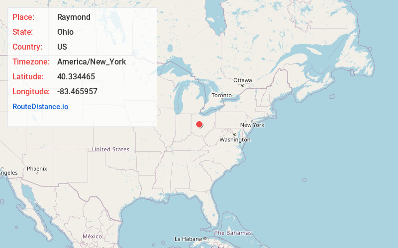
Full AddressRaymond, OH 43067
-
Coordinates40.3344648, -83.4659573
-
LocationRaymond , Ohio , US
-
TimezoneAmerica/New_York
-
Current Local Time2:47:51 PM America/New_YorkTuesday, June 24, 2025
-
Page Views0
About Raymond
Raymond is a census-designated place in eastern Liberty Township, Union County, Ohio, United States. It has a post office with the ZIP code 43067. It is located at the intersection of State Routes 347 and 739. The population was 280 at the 2020 census.


Nearby Places
Found 10 places within 50 miles

East Liberty
6.1 mi
9.8 km
East Liberty, OH
Get directions

West Mansfield
6.3 mi
10.1 km
West Mansfield, OH 43358
Get directions

Marysville
8.5 mi
13.7 km
Marysville, OH 43040
Get directions
North Lewisburg
9.1 mi
14.6 km
North Lewisburg, OH 43060
Get directions

Magnetic Springs
10.9 mi
17.5 km
Magnetic Springs, OH
Get directions

Milford Center
10.9 mi
17.5 km
Milford Center, OH
Get directions

Richwood
10.9 mi
17.5 km
Richwood, OH 43344
Get directions

Zanesfield
11.1 mi
17.9 km
Zanesfield, OH
Get directions
Woodstock
11.6 mi
18.7 km
Woodstock, OH 43084
Get directions
Ridgeway
13.6 mi
21.9 km
Ridgeway, OH 43345
Get directions
Location Links
Local Weather
Weather Information
Coming soon!
Location Map
Static map view of Raymond, Ohio
Browse Places by Distance
Places within specific distances from Raymond
Short Distances
Long Distances
Click any distance to see all places within that range from Raymond. Distances shown in miles (1 mile ≈ 1.61 kilometers).