Distance to Milford Center, Ohio

Calculating Your Route
Just a moment while we process your request...
Location Information
-
Full AddressMilford Center, OH
-
Coordinates40.1786705, -83.4354782
-
LocationMilford Center , Ohio , US
-
TimezoneAmerica/New_York
-
Current Local Time12:46:16 AM America/New_YorkSunday, June 1, 2025
-
Page Views0
About Milford Center
Milford Center is a village in Union County, Ohio, United States. The population was 807 at the 2020 census.


Nearby Places
Found 10 places within 50 miles

Marysville
5.4 mi
8.7 km
Marysville, OH 43040
Get directions

North Lewisburg
7.1 mi
11.4 km
North Lewisburg, OH 43060
Get directions
Mechanicsburg
9.8 mi
15.8 km
Mechanicsburg, OH 43044
Get directions

Plain City
10.1 mi
16.3 km
Plain City, OH 43064
Get directions
New California
10.6 mi
17.1 km
New California, OH 43064
Get directions

Ostrander
13.2 mi
21.2 km
Ostrander, OH 43061
Get directions

Choctaw Lake
15.3 mi
24.6 km
Choctaw Lake, OH 43140
Get directions

Shawnee Hills
16.0 mi
25.7 km
Shawnee Hills, OH 43065
Get directions

Dublin
16.4 mi
26.4 km
Dublin, OH
Get directions
West Mansfield
16.5 mi
26.6 km
West Mansfield, OH 43358
Get directions
Location Links
Local Weather
Weather Information
Coming soon!
Location Map
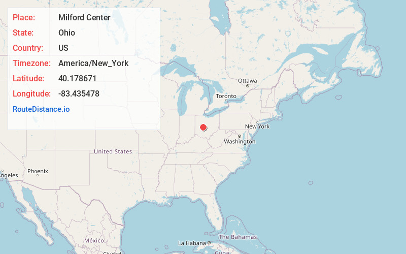
Static map view of Milford Center, Ohio
Browse Places by Distance
Places within specific distances from Milford Center
Short Distances
Long Distances
Click any distance to see all places within that range from Milford Center. Distances shown in miles (1 mile ≈ 1.61 kilometers).