Distance to Ostrander, Ohio

Calculating Your Route
Just a moment while we process your request...
Location Information
-
Full AddressOstrander, OH 43061
-
Coordinates40.266172, -83.2126932
-
LocationOstrander , Ohio , US
-
TimezoneAmerica/New_York
-
Current Local Time5:30:05 PM America/New_YorkWednesday, June 25, 2025
-
Page Views0
About Ostrander
Ostrander is a village in Delaware County, Ohio, United States. The population was 1,094 at the 2020 census.

Nearby Places
Found 10 places within 50 miles

New California
7.8 mi
12.6 km
New California, OH 43064
Get directions

Delaware
8.0 mi
12.9 km
Delaware, OH 43015
Get directions

Marysville
8.4 mi
13.5 km
Marysville, OH 43040
Get directions

Shawnee Hills
8.6 mi
13.8 km
Shawnee Hills, OH 43065
Get directions

Powell
10.4 mi
16.7 km
Powell, OH 43065
Get directions

Plain City
11.3 mi
18.2 km
Plain City, OH 43064
Get directions

Richwood
11.9 mi
19.2 km
Richwood, OH 43344
Get directions

Dublin
11.9 mi
19.2 km
Dublin, OH
Get directions

Prospect
12.8 mi
20.6 km
Prospect, OH 43342
Get directions

Worthington
15.8 mi
25.4 km
Worthington, OH
Get directions
Location Links
Local Weather
Weather Information
Coming soon!
Location Map
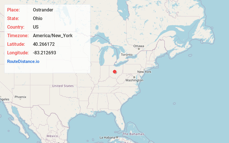
Static map view of Ostrander, Ohio
Browse Places by Distance
Places within specific distances from Ostrander
Short Distances
Long Distances
Click any distance to see all places within that range from Ostrander. Distances shown in miles (1 mile ≈ 1.61 kilometers).