Distance to Powell, Ohio

Calculating Your Route
Just a moment while we process your request...
Location Information
-
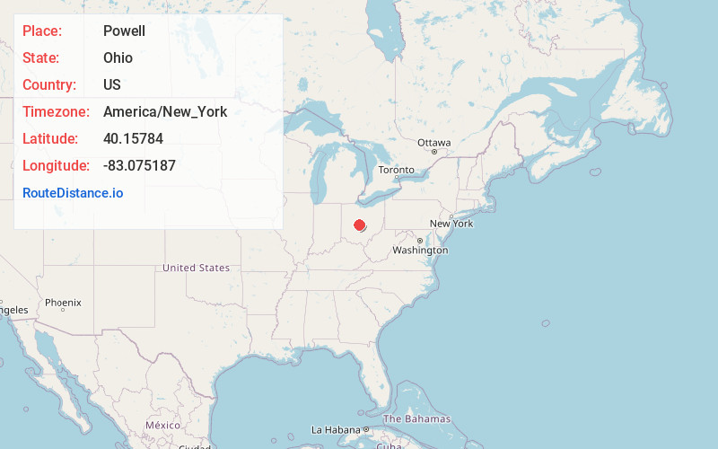
Full AddressPowell, OH 43065
-
Coordinates40.1578402, -83.0751869
-
LocationPowell , Ohio , US
-
TimezoneAmerica/New_York
-
Current Local Time7:23:31 PM America/New_YorkSunday, May 25, 2025
-
Website
-
Page Views0
About Powell
Powell is a city in Delaware County, Ohio, United States, located 14 miles north of the state capital of Columbus. Powell had an estimated population of 14,163 at the 2020 census. Founded in the early 1800s, it is now a suburb of Columbus.


Nearby Places
Found 10 places within 50 miles

Dublin
5.2 mi
8.4 km
Dublin, OH
Get directions

Worthington
5.4 mi
8.7 km
Worthington, OH
Get directions

Westerville
7.9 mi
12.7 km
Westerville, OH
Get directions

Upper Arlington
9.2 mi
14.8 km
Upper Arlington, OH
Get directions

Hilliard
9.7 mi
15.6 km
Hilliard, OH
Get directions

Delaware
9.7 mi
15.6 km
Delaware, OH 43015
Get directions

Columbus
14.0 mi
22.5 km
Columbus, OH
Get directions

Gahanna
14.1 mi
22.7 km
Gahanna, OH
Get directions

Marysville
16.3 mi
26.2 km
Marysville, OH 43040
Get directions

Whitehall
16.6 mi
26.7 km
Whitehall, OH
Get directions
Location Links
Local Weather
Weather Information
Coming soon!
Location Map
Static map view of Powell, Ohio
Browse Places by Distance
Places within specific distances from Powell
Short Distances
Long Distances
Click any distance to see all places within that range from Powell. Distances shown in miles (1 mile ≈ 1.61 kilometers).