Distance to New California, Ohio

Calculating Your Route
Just a moment while we process your request...
Location Information
-
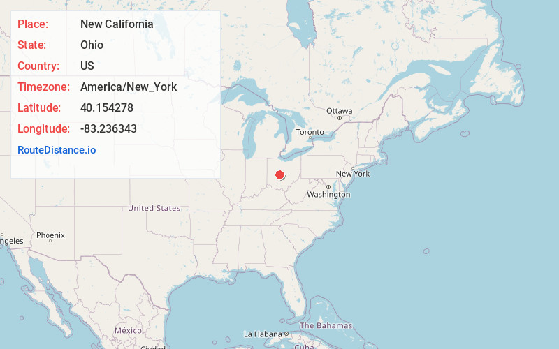
Full AddressNew California, OH 43064
-
Coordinates40.154278, -83.236343
-
LocationNew California , Ohio , US
-
TimezoneAmerica/New_York
-
Current Local Time8:08:40 PM America/New_YorkMonday, June 16, 2025
-
Page Views0
About New California
New California is a census-designated place in central Jerome Township, Union County, Ohio, United States. It is located at the intersection of U.S. Route 42 and Industrial Parkway, just south of 42's intersection with U.S. Route 33. The population was 2,225 at the 2020 census.
Nearby Places
Found 10 places within 50 miles

Plain City
3.6 mi
5.8 km
Plain City, OH 43064
Get directions

Shawnee Hills
5.4 mi
8.7 km
Shawnee Hills, OH 43065
Get directions

Dublin
6.2 mi
10.0 km
Dublin, OH
Get directions

Powell
8.5 mi
13.7 km
Powell, OH 43065
Get directions

Marysville
8.9 mi
14.3 km
Marysville, OH 43040
Get directions

Hilliard
9.3 mi
15.0 km
Hilliard, OH
Get directions

Worthington
12.3 mi
19.8 km
Worthington, OH
Get directions

Upper Arlington
13.0 mi
20.9 km
Upper Arlington, OH
Get directions

Delaware
13.4 mi
21.6 km
Delaware, OH 43015
Get directions

Lake Darby
13.6 mi
21.9 km
Lake Darby, OH 43119
Get directions
Location Links
Local Weather
Weather Information
Coming soon!
Location Map
Static map view of New California, Ohio
Browse Places by Distance
Places within specific distances from New California
Short Distances
Long Distances
Click any distance to see all places within that range from New California. Distances shown in miles (1 mile ≈ 1.61 kilometers).