Distance to Brobston, Georgia

Calculating Your Route
Just a moment while we process your request...
Location Information
-
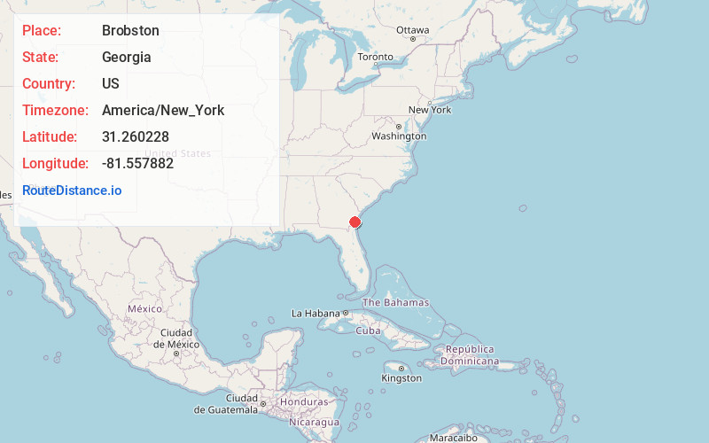
Full AddressBrobston, Sterling, GA 31525
-
Coordinates31.2602277, -81.5578822
-
LocationSterling , Georgia , US
-
TimezoneAmerica/New_York
-
Current Local Time6:12:33 AM America/New_YorkSunday, May 25, 2025
-
Page Views0
Nearby Places
Found 10 places within 50 miles

Sterling
0.9 mi
1.4 km
Sterling, GA
Get directions
Pyles Marsh
1.2 mi
1.9 km
Pyles Marsh, GA 31523
Get directions
Hermitage Island
1.9 mi
3.1 km
Hermitage Island, Georgia 31523
Get directions
Anguilla
2.7 mi
4.3 km
Anguilla, GA 31523
Get directions
Glynn Camp
3.5 mi
5.6 km
Glynn Camp, GA 31520
Get directions
Pennick
3.6 mi
5.8 km
Pennick, GA 31525
Get directions
Benedict
4.5 mi
7.2 km
Benedict, Dock Junction, GA 31520
Get directions

Dock Junction
4.7 mi
7.6 km
Dock Junction, GA
Get directions
Evelyn
6.3 mi
10.1 km
Evelyn, GA 31525
Get directions
Boys Estate
6.4 mi
10.3 km
Boys Estate, GA 31525
Get directions
Location Links
Local Weather
Weather Information
Coming soon!
Location Map
Static map view of Brobston, Georgia
Browse Places by Distance
Places within specific distances from Brobston
Short Distances
Long Distances
Click any distance to see all places within that range from Brobston. Distances shown in miles (1 mile ≈ 1.61 kilometers).