Distance to Brockway, Montana

Calculating Your Route
Just a moment while we process your request...
Location Information
-
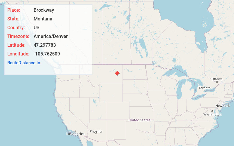
Full AddressBrockway, MT
-
Coordinates47.2977834, -105.7625087
-
LocationBrockway , Montana , US
-
TimezoneAmerica/Denver
-
Current Local Time11:13:26 PM America/DenverThursday, June 19, 2025
-
Page Views0
About Brockway
Brockway is an unincorporated community and census-designated place in southern McCone County, Montana, United States, located near the Redwater River. As of the 2020 census, the first year it was listed as a CDP, the population was 14.
Brockway is home to the annual Brockway Dairy Day Rodeo.
Nearby Places
Found 7 places within 50 miles

Circle
11.6 mi
18.7 km
Circle, MT 59215
Get directions

Vida
39.0 mi
62.8 km
Vida, MT 59274
Get directions

Richey
40.3 mi
64.9 km
Richey, MT 59259
Get directions
Bloomfield
40.3 mi
64.9 km
Bloomfield, MT 59315
Get directions

Terry
40.8 mi
65.7 km
Terry, MT 59349
Get directions

Fallon
44.0 mi
70.8 km
Fallon, MT
Get directions

West Glendive
49.5 mi
79.7 km
West Glendive, MT 59330
Get directions
Location Links
Local Weather
Weather Information
Coming soon!
Location Map
Static map view of Brockway, Montana
Browse Places by Distance
Places within specific distances from Brockway
Short Distances
Long Distances
Click any distance to see all places within that range from Brockway. Distances shown in miles (1 mile ≈ 1.61 kilometers).