Distance to Vida, Montana

Calculating Your Route
Just a moment while we process your request...
Location Information
-
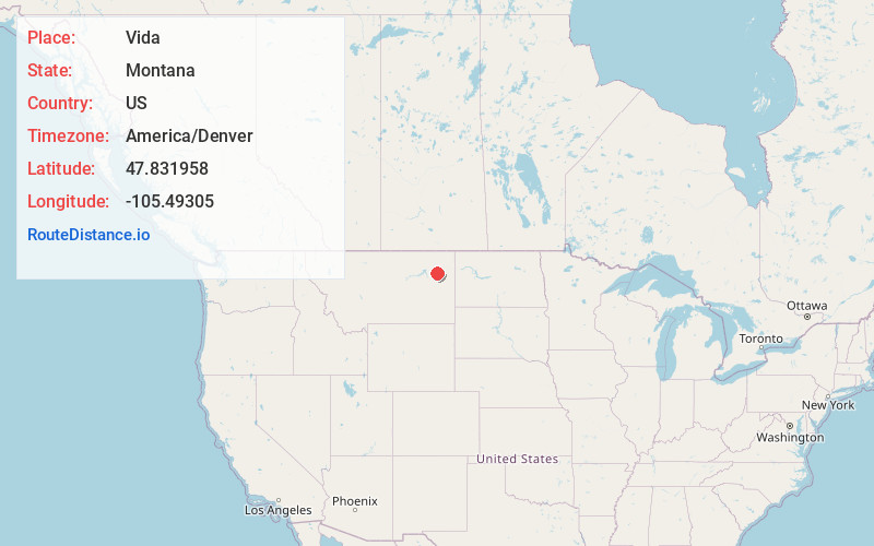
Full AddressVida, MT 59274
-
Coordinates47.8319584, -105.49305
-
LocationVida , Montana , US
-
TimezoneAmerica/Denver
-
Current Local Time8:21:06 AM America/DenverSunday, June 1, 2025
-
Page Views0
About Vida
Vida is an unincorporated village and census-designated place in northern McCone County, Montana, United States, located on Montana Highway 13 along the Big Sky Back Country Byway, approximately 23 miles south of Wolf Point, and 30 miles north of Circle. As of the 2020 census, the population of Vida was 24.


Nearby Places
Found 9 places within 50 miles

Wolf Point
19.1 mi
30.7 km
Wolf Point, MT 59201
Get directions

Richey
23.6 mi
38.0 km
Richey, MT 59259
Get directions

Poplar
23.7 mi
38.1 km
Poplar, MT 59255
Get directions

Circle
29.1 mi
46.8 km
Circle, MT 59215
Get directions

Frazer
29.9 mi
48.1 km
Frazer, MT
Get directions

Brockton
34.6 mi
55.7 km
Brockton, MT 59213
Get directions
Lambert
41.7 mi
67.1 km
Lambert, MT 59243
Get directions
Nashua
45.0 mi
72.4 km
Nashua, MT 59248
Get directions

Fort Peck
45.9 mi
73.9 km
Fort Peck, MT 59248
Get directions
Location Links
Local Weather
Weather Information
Coming soon!
Location Map
Static map view of Vida, Montana
Browse Places by Distance
Places within specific distances from Vida
Short Distances
Long Distances
Click any distance to see all places within that range from Vida. Distances shown in miles (1 mile ≈ 1.61 kilometers).