Distance to Brockwell, Arkansas

Calculating Your Route
Just a moment while we process your request...
Location Information
-
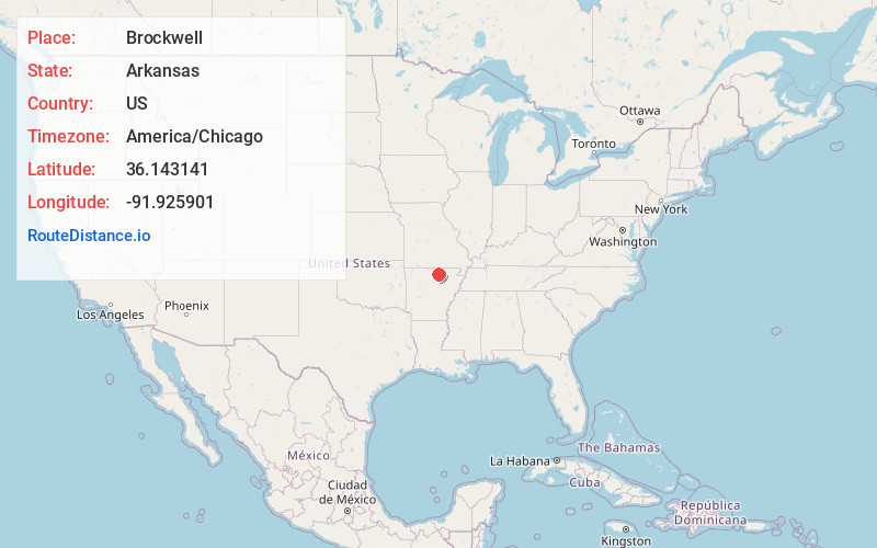
Full AddressBrockwell, AR
-
Coordinates36.1431406, -91.9259014
-
NeighborhoodBrockwell
-
LocationBrockwell , Arkansas , US
-
TimezoneAmerica/Chicago
-
Current Local Time10:53:01 AM America/ChicagoSunday, May 25, 2025
-
Page Views0
About Brockwell
Brockwell, Arkansas is an unincorporated community in Newburg Township, Izard County, Arkansas, United States. It is located at the intersection of Arkansas Highway 9 and Arkansas Highway 56.
The community is near the Pine Ridge School Building, listed on the National Register of Historic Places.
Nearby Places
Found 10 places within 50 miles

Violet Hill
4.8 mi
7.7 km
Violet Hill, AR
Get directions
Knob Creek
5.4 mi
8.7 km
Knob Creek, AR 72556
Get directions

Oxford
5.4 mi
8.7 km
Oxford, AR
Get directions

Melbourne
5.9 mi
9.5 km
Melbourne, AR 72556
Get directions
Franklin
8.6 mi
13.8 km
Franklin, AR
Get directions
Gorby
8.8 mi
14.2 km
Gorby, AR 72519
Get directions
Pineville
10.2 mi
16.4 km
Pineville, AR
Get directions

Horseshoe Bend
10.7 mi
17.2 km
Horseshoe Bend, AR
Get directions
Morriston
11.7 mi
18.8 km
Morriston, AR 72576
Get directions

Calico Rock
11.8 mi
19.0 km
Calico Rock, AR
Get directions
Location Links
Local Weather
Weather Information
Coming soon!
Location Map
Static map view of Brockwell, Arkansas
Browse Places by Distance
Places within specific distances from Brockwell
Short Distances
Long Distances
Click any distance to see all places within that range from Brockwell. Distances shown in miles (1 mile ≈ 1.61 kilometers).