Distance to Broken Sword, Ohio

Calculating Your Route
Just a moment while we process your request...
Location Information
-
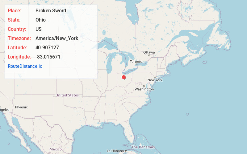
Full AddressBroken Sword, OH 44820
-
Coordinates40.907127, -83.015671
-
LocationBroken Sword , Ohio , US
-
TimezoneAmerica/New_York
-
Current Local Time6:47:12 PM America/New_YorkFriday, June 20, 2025
-
Page Views1
About Broken Sword
Brokensword is an unincorporated community on the border between the Holmes and Lykens townships of Crawford County, Ohio, United States. Located at the intersection of the concurrent State Routes 19 and 100 with Brokensword Road, it is six miles north and two miles west of the city of Bucyrus, the county seat.
Nearby Places
Found 10 places within 50 miles

Spore
3.3 mi
5.3 km
Spore, Holmes Township, OH 44820
Get directions
Ridgeton
3.7 mi
6.0 km
Ridgeton, Liberty Township, OH 44820
Get directions
Lykens
4.0 mi
6.4 km
Lykens, OH 44818
Get directions
Benton
4.3 mi
6.9 km
Benton, OH 44882
Get directions
Chatfield
4.7 mi
7.6 km
Chatfield, OH
Get directions
Plankton
5.4 mi
8.7 km
Plankton, OH 44882
Get directions
Oceola
5.9 mi
9.5 km
Oceola, OH
Get directions
Deunquat
6.2 mi
10.0 km
Deunquat, OH 44882
Get directions

Bucyrus
7.1 mi
11.4 km
Bucyrus, OH 44820
Get directions
Sulphur Springs
7.7 mi
12.4 km
Sulphur Springs, OH 44820
Get directions
Location Links
Local Weather
Weather Information
Coming soon!
Location Map
Static map view of Broken Sword, Ohio
Browse Places by Distance
Places within specific distances from Broken Sword
Short Distances
Long Distances
Click any distance to see all places within that range from Broken Sword. Distances shown in miles (1 mile ≈ 1.61 kilometers).