Distance to Oceola, Ohio

Calculating Your Route
Just a moment while we process your request...
Location Information
-
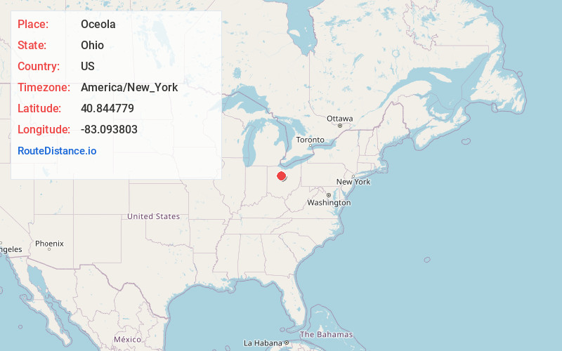
Full AddressOceola, OH
-
Coordinates40.8447792, -83.0938027
-
LocationOceola , Ohio , US
-
TimezoneAmerica/New_York
-
Current Local Time8:49:50 AM America/New_YorkMonday, June 2, 2025
-
Page Views0
About Oceola
Oceola is a census-designated place in central Tod Township, Crawford County, Ohio, United States. As of the 2020 United States census its population was 156. It has a post office with the ZIP code 44860. It is located along the road that was U.S. Route 30 until being upgraded to a freeway.
Nearby Places
Found 10 places within 50 miles

Nevada
2.6 mi
4.2 km
Nevada, OH 44849
Get directions

Bucyrus
6.7 mi
10.8 km
Bucyrus, OH 44820
Get directions

Sycamore
8.3 mi
13.4 km
Sycamore, OH 44882
Get directions

Upper Sandusky
9.9 mi
15.9 km
Upper Sandusky, OH 43351
Get directions

Harpster
11.1 mi
17.9 km
Harpster, OH 43323
Get directions
Morral
12.5 mi
20.1 km
Morral, OH 43337
Get directions

North Robinson
12.9 mi
20.8 km
North Robinson, OH
Get directions

McCutchenville
13.3 mi
21.4 km
McCutchenville, OH 44844
Get directions
Bloomville
14.9 mi
24.0 km
Bloomville, OH 44818
Get directions
New Washington
14.9 mi
24.0 km
New Washington, OH 44854
Get directions
Location Links
Local Weather
Weather Information
Coming soon!
Location Map
Static map view of Oceola, Ohio
Browse Places by Distance
Places within specific distances from Oceola
Short Distances
Long Distances
Click any distance to see all places within that range from Oceola. Distances shown in miles (1 mile ≈ 1.61 kilometers).