Distance to McCutchenville, Ohio

Calculating Your Route
Just a moment while we process your request...
Location Information
-
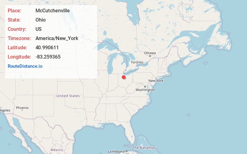
Full AddressMcCutchenville, OH 44844
-
Coordinates40.9906113, -83.2593653
-
LocationMcCutchenville , Ohio , US
-
TimezoneAmerica/New_York
-
Current Local Time1:29:18 AM America/New_YorkTuesday, June 3, 2025
-
Page Views0
About McCutchenville
McCutchenville is a census-designated place in northern Wyandot and southern Seneca counties, Ohio, United States. It has a post office with the ZIP code 44844. It lies at the intersection of State Routes 53 and 587. The population was 371 at the 2020 census.


Nearby Places
Found 10 places within 50 miles

Sycamore
5.4 mi
8.7 km
Sycamore, OH 44882
Get directions

Carey
6.9 mi
11.1 km
Carey, OH 43316
Get directions

Tiffin
9.6 mi
15.4 km
Tiffin, OH 44883
Get directions

Upper Sandusky
11.3 mi
18.2 km
Upper Sandusky, OH 43351
Get directions
Bloomville
13.4 mi
21.6 km
Bloomville, OH 44818
Get directions

Nevada
13.6 mi
21.9 km
Nevada, OH 44849
Get directions
Wharton
13.8 mi
22.2 km
Wharton, OH 43359
Get directions

Fostoria
14.1 mi
22.7 km
Fostoria, OH 44830
Get directions

Republic
15.6 mi
25.1 km
Republic, OH 44867
Get directions
Arcadia
15.7 mi
25.3 km
Arcadia, OH 44804
Get directions
Location Links
Local Weather
Weather Information
Coming soon!
Location Map
Static map view of McCutchenville, Ohio
Browse Places by Distance
Places within specific distances from McCutchenville
Short Distances
Long Distances
Click any distance to see all places within that range from McCutchenville. Distances shown in miles (1 mile ≈ 1.61 kilometers).