Distance to Sycamore, Ohio

Calculating Your Route
Just a moment while we process your request...
Location Information
-
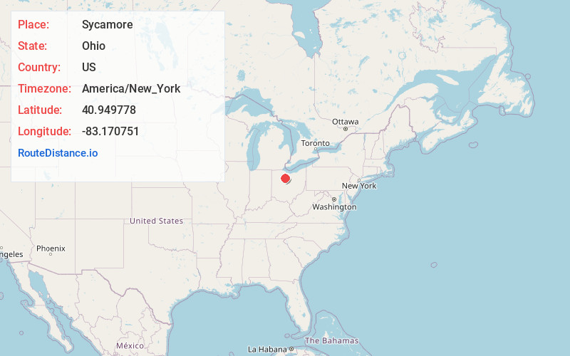
Full AddressSycamore, OH 44882
-
Coordinates40.9497783, -83.1707507
-
LocationSycamore , Ohio , US
-
TimezoneAmerica/New_York
-
Current Local Time1:21:05 PM America/New_YorkMonday, June 23, 2025
-
Page Views0
About Sycamore
Sycamore is a village in Wyandot County, Ohio, United States. The population was 793 at the 2020 census.
Nearby Places
Found 10 places within 50 miles

Nevada
9.3 mi
15.0 km
Nevada, OH 44849
Get directions

Upper Sandusky
10.2 mi
16.4 km
Upper Sandusky, OH 43351
Get directions

Bloomville
10.8 mi
17.4 km
Bloomville, OH 44818
Get directions

Carey
11.0 mi
17.7 km
Carey, OH 43316
Get directions

Tiffin
11.4 mi
18.3 km
Tiffin, OH 44883
Get directions

Bucyrus
14.1 mi
22.7 km
Bucyrus, OH 44820
Get directions
New Washington
16.5 mi
26.6 km
New Washington, OH 44854
Get directions

Attica
16.8 mi
27.0 km
Attica, OH 44807
Get directions

Fostoria
19.2 mi
30.9 km
Fostoria, OH 44830
Get directions

Forest
20.5 mi
33.0 km
Forest, OH 45843
Get directions
Location Links
Local Weather
Weather Information
Coming soon!
Location Map
Static map view of Sycamore, Ohio
Browse Places by Distance
Places within specific distances from Sycamore
Short Distances
Long Distances
Click any distance to see all places within that range from Sycamore. Distances shown in miles (1 mile ≈ 1.61 kilometers).