Distance to and from Brookdale, South Carolina
Brookdale, SC 29115
Brookdale
South Carolina
US
America/New_York
Location Information
-
Full AddressBrookdale, SC 29115
-
Coordinates33.50682, -80.8234248
-
LocationBrookdale , South Carolina , US
-
TimezoneAmerica/New_York
-
Current Local Time1:01:36 PM America/New_YorkSaturday, May 3, 2025
-
Page Views0
Directions to Nearest Cities
About Brookdale
Brookdale is a census-designated place in Orangeburg County, South Carolina, United States. The population was 4,724 at the 2000 census.
Nearby Places
Found 10 places within 50 miles

Orangeburg
2.1 mi
3.4 km
Orangeburg, SC
Get directions

Cayce
34.8 mi
56.0 km
Cayce, SC
Get directions

Barnwell
35.8 mi
57.6 km
Barnwell, SC 29812
Get directions

Columbia
36.2 mi
58.3 km
Columbia, SC
Get directions

West Columbia
36.6 mi
58.9 km
West Columbia, SC
Get directions

Forest Acres
36.7 mi
59.1 km
Forest Acres, SC
Get directions

Red Bank
37.8 mi
60.8 km
Red Bank, SC 29073
Get directions

Oak Grove
38.0 mi
61.2 km
Oak Grove, SC
Get directions
Woodfield
38.7 mi
62.3 km
Woodfield, SC
Get directions

Dentsville
39.3 mi
63.2 km
Dentsville, SC
Get directions
Orangeburg
2.1 mi
3.4 km
Orangeburg, SC
Cayce
34.8 mi
56.0 km
Cayce, SC
Barnwell
35.8 mi
57.6 km
Barnwell, SC 29812
Columbia
36.2 mi
58.3 km
Columbia, SC
West Columbia
36.6 mi
58.9 km
West Columbia, SC
Forest Acres
36.7 mi
59.1 km
Forest Acres, SC
Red Bank
37.8 mi
60.8 km
Red Bank, SC 29073
Oak Grove
38.0 mi
61.2 km
Oak Grove, SC
Woodfield
38.7 mi
62.3 km
Woodfield, SC
Dentsville
39.3 mi
63.2 km
Dentsville, SC
Location Links
Local Weather
Weather Information
Coming soon!
Location Map
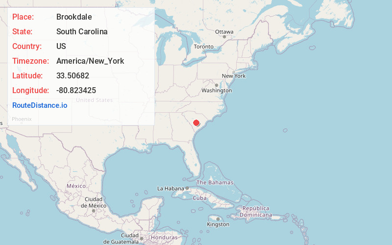
Static map view of Brookdale, South Carolina
Browse Places by Distance
Places within specific distances from Brookdale
Short Distances
Long Distances
Click any distance to see all places within that range from Brookdale. Distances shown in miles (1 mile ≈ 1.61 kilometers).