Distance to Brookeland, Texas

Calculating Your Route
Just a moment while we process your request...
Location Information
-
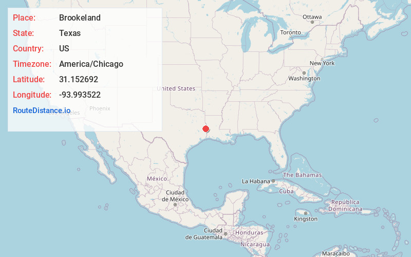
Full AddressBrookeland, TX 75931
-
Coordinates31.1526918, -93.9935221
-
LocationBrookeland , Texas , US
-
TimezoneAmerica/Chicago
-
Current Local Time9:44:50 PM America/ChicagoSaturday, May 31, 2025
-
Page Views0
About Brookeland
Brookeland is an unincorporated community in southwestern Sabine and northwestern Jasper counties in the Deep East region of the U.S. state of Texas. It is located thirteen miles south of Bronson on U.S. Route 96. The community has a population of approximately 300. The ZIP Code for Brookeland is 75931.
Nearby Places
Found 10 places within 50 miles

Browndell
2.0 mi
3.2 km
Browndell, TX 75931
Get directions
Pineland
6.9 mi
11.1 km
Pineland, TX 75968
Get directions
Magasco
8.9 mi
14.3 km
Magasco, TX 75968
Get directions

Sam Rayburn Reservoir
9.2 mi
14.8 km
Sam Rayburn Reservoir, Texas 75951
Get directions
Collins
10.5 mi
16.9 km
Collins, TX 75951
Get directions

Hemphill
15.6 mi
25.1 km
Hemphill, TX 75948
Get directions

Jasper
16.0 mi
25.7 km
Jasper, TX 75951
Get directions
Rosevine
18.5 mi
29.8 km
Rosevine, TX 75972
Get directions

Broaddus
19.4 mi
31.2 km
Broaddus, TX 75929
Get directions
Wiergate
20.0 mi
32.2 km
Wiergate, TX 75977
Get directions
Location Links
Local Weather
Weather Information
Coming soon!
Location Map
Static map view of Brookeland, Texas
Browse Places by Distance
Places within specific distances from Brookeland
Short Distances
Long Distances
Click any distance to see all places within that range from Brookeland. Distances shown in miles (1 mile ≈ 1.61 kilometers).