Distance to Brookneal, Virginia

Calculating Your Route
Just a moment while we process your request...
Location Information
-
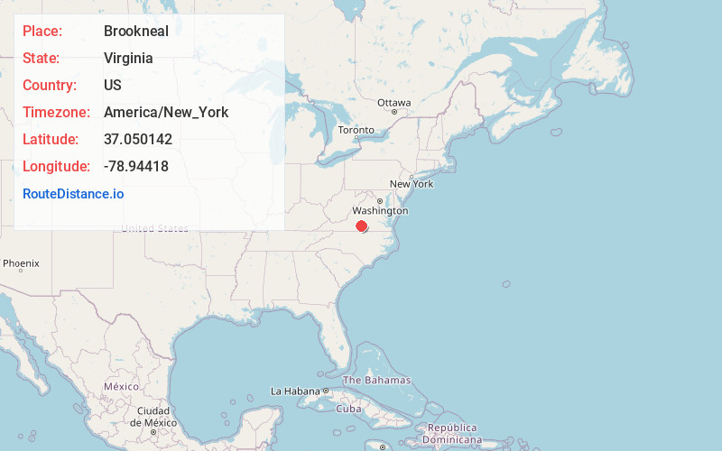
Full AddressBrookneal, VA 24528
-
Coordinates37.0501416, -78.9441801
-
LocationBrookneal , Virginia , US
-
TimezoneAmerica/New_York
-
Current Local Time1:04:43 PM America/New_YorkMonday, June 2, 2025
-
Page Views0
About Brookneal
Brookneal is an incorporated town in Campbell County, Virginia, United States. The population was 1,090 as of the 2020 census. It is part of the Lynchburg Metropolitan Statistical Area.

Nearby Places
Found 10 places within 50 miles

Rustburg
17.9 mi
28.8 km
Rustburg, VA 24588
Get directions

Altavista
19.3 mi
31.1 km
Altavista, VA
Get directions

Hurt
19.6 mi
31.5 km
Hurt, VA 24563
Get directions

Halifax
19.7 mi
31.7 km
Halifax, VA
Get directions

Appomattox
22.2 mi
35.7 km
Appomattox, VA 24522
Get directions

South Boston
24.4 mi
39.3 km
South Boston, VA 24592
Get directions

Timberlake
25.4 mi
40.9 km
Timberlake, VA
Get directions

Lynchburg
27.5 mi
44.3 km
Lynchburg, VA
Get directions

Madison Heights
28.1 mi
45.2 km
Madison Heights, VA 24572
Get directions

Forest
28.8 mi
46.3 km
Forest, VA
Get directions
Location Links
Local Weather
Weather Information
Coming soon!
Location Map
Static map view of Brookneal, Virginia
Browse Places by Distance
Places within specific distances from Brookneal
Short Distances
Long Distances
Click any distance to see all places within that range from Brookneal. Distances shown in miles (1 mile ≈ 1.61 kilometers).