Distance to Rustburg, Virginia

Calculating Your Route
Just a moment while we process your request...
Location Information
-
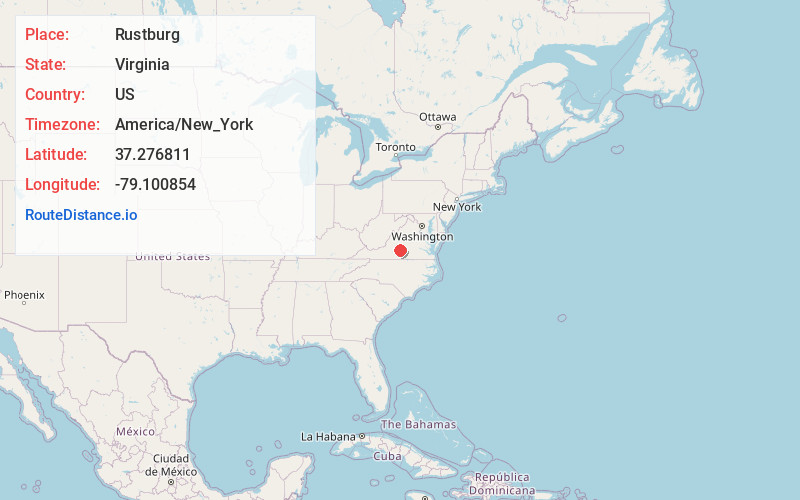
Full AddressRustburg, VA 24588
-
Coordinates37.2768113, -79.1008543
-
LocationRustburg , Virginia , US
-
TimezoneAmerica/New_York
-
Current Local Time11:34:25 PM America/New_YorkSaturday, June 21, 2025
-
Page Views0
About Rustburg
Rustburg is a census-designated place in and the county seat of Campbell County, Virginia, United States. The population was 1,585 at the 2020 census. It is part of the Lynchburg Metropolitan Statistical Area.
The public high school in Rustburg is Rustburg High School.


Nearby Places
Found 10 places within 50 miles

Timberlake
9.1 mi
14.6 km
Timberlake, VA
Get directions

Lynchburg
9.8 mi
15.8 km
Lynchburg, VA
Get directions

Madison Heights
10.7 mi
17.2 km
Madison Heights, VA 24572
Get directions

Forest
12.0 mi
19.3 km
Forest, VA
Get directions

Altavista
15.3 mi
24.6 km
Altavista, VA
Get directions

Appomattox
16.1 mi
25.9 km
Appomattox, VA 24522
Get directions

Amherst
21.5 mi
34.6 km
Amherst, VA 24521
Get directions

Bedford
23.5 mi
37.8 km
Bedford, VA 24523
Get directions

North Shore
33.5 mi
53.9 km
North Shore, VA
Get directions

Buena Vista
34.5 mi
55.5 km
Buena Vista, VA
Get directions
Location Links
Local Weather
Weather Information
Coming soon!
Location Map
Static map view of Rustburg, Virginia
Browse Places by Distance
Places within specific distances from Rustburg
Short Distances
Long Distances
Click any distance to see all places within that range from Rustburg. Distances shown in miles (1 mile ≈ 1.61 kilometers).