Distance to Brooks Township, Michigan

Calculating Your Route
Just a moment while we process your request...
Location Information
-
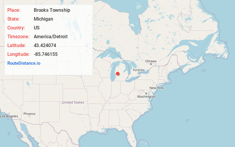
Full AddressBrooks Township, MI
-
Coordinates43.4240742, -85.7461548
-
LocationBrooks Township , Michigan , US
-
TimezoneAmerica/Detroit
-
Current Local Time11:57:16 AM America/DetroitSaturday, May 31, 2025
-
Page Views0
About Brooks Township
Brooks Township is a civil township of Newaygo County in the U.S. state of Michigan. As of the 2020 census, the township population was 3,705.

Nearby Places
Found 10 places within 50 miles

Newaygo
2.7 mi
4.3 km
Newaygo, MI 49337
Get directions

Croton Heights
6.0 mi
9.7 km
Croton Heights, Croton Township, MI 49337
Get directions

Croton Township
6.2 mi
10.0 km
Croton Township, MI
Get directions

Grant
6.9 mi
11.1 km
Grant, MI 49327
Get directions
Bishop
7.7 mi
12.4 km
Bishop, Garfield Township, MI 49337
Get directions
Ashland Center
8.0 mi
12.9 km
Ashland Center, MI 49327
Get directions
Ensley Center
8.6 mi
13.8 km
Ensley Center, MI 49343
Get directions
Ashland
8.7 mi
14.0 km
Ashland, MI 49327
Get directions
Wooster
8.8 mi
14.2 km
Wooster, MI 49412
Get directions

White Cloud
8.8 mi
14.2 km
White Cloud, MI 49349
Get directions
Location Links
Local Weather
Weather Information
Coming soon!
Location Map
Static map view of Brooks Township, Michigan
Browse Places by Distance
Places within specific distances from Brooks Township
Short Distances
Long Distances
Click any distance to see all places within that range from Brooks Township. Distances shown in miles (1 mile ≈ 1.61 kilometers).