Distance to White Cloud, Michigan

Calculating Your Route
Just a moment while we process your request...
Location Information
-
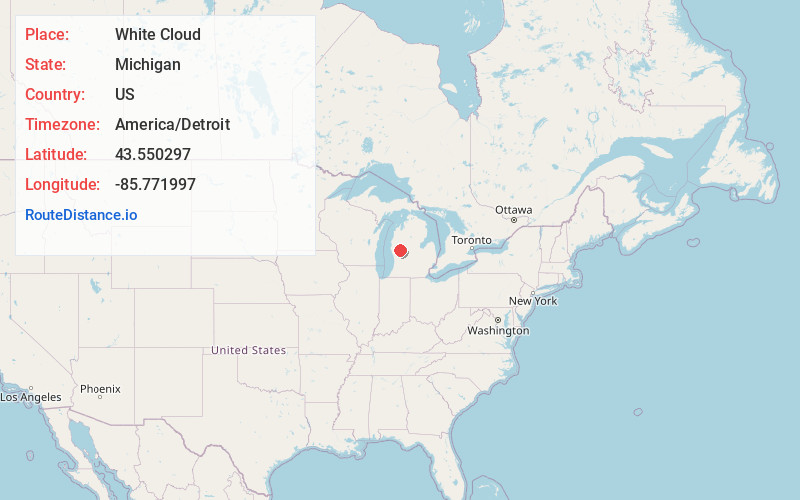
Full AddressWhite Cloud, MI 49349
-
Coordinates43.5502974, -85.771997
-
LocationWhite Cloud , Michigan , US
-
TimezoneAmerica/Detroit
-
Current Local Time1:24:18 PM America/DetroitThursday, May 29, 2025
-
Page Views0
About White Cloud
White Cloud is a city in the U.S. state of Michigan, a small town on the bank of the White River. As of the 2020 census, the city population was 1,479. It is the county seat of Newaygo County.


Nearby Places
Found 10 places within 50 miles

Newaygo
9.1 mi
14.6 km
Newaygo, MI 49337
Get directions

Fremont
10.3 mi
16.6 km
Fremont, MI
Get directions

Grant
14.9 mi
24.0 km
Grant, MI 49327
Get directions

Big Rapids
17.7 mi
28.5 km
Big Rapids, MI 49307
Get directions

Howard City
18.6 mi
29.9 km
Howard City, MI 49329
Get directions

Kent City
22.8 mi
36.7 km
Kent City, MI 49330
Get directions

Twin Lake
23.6 mi
38.0 km
Twin Lake, MI 49457
Get directions

Canadian Lakes
23.6 mi
38.0 km
Canadian Lakes, MI
Get directions

Cedar Springs
25.2 mi
40.6 km
Cedar Springs, MI 49319
Get directions

Reed City
26.0 mi
41.8 km
Reed City, MI 49677
Get directions
Location Links
Local Weather
Weather Information
Coming soon!
Location Map
Static map view of White Cloud, Michigan
Browse Places by Distance
Places within specific distances from White Cloud
Short Distances
Long Distances
Click any distance to see all places within that range from White Cloud. Distances shown in miles (1 mile ≈ 1.61 kilometers).