Distance to Kent City, Michigan

Calculating Your Route
Just a moment while we process your request...
Location Information
-
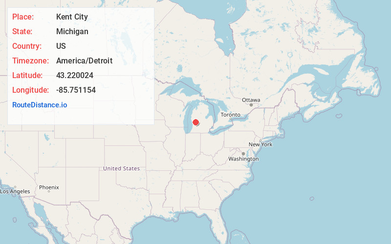
Full AddressKent City, MI 49330
-
Coordinates43.2200235, -85.7511542
-
LocationKent City , Michigan , US
-
TimezoneAmerica/Detroit
-
Current Local Time3:40:23 AM America/DetroitFriday, June 20, 2025
-
Page Views0
About Kent City
Kent City is a village in Kent County in the U.S. state of Michigan. The population was 1,262 at the 2020 census. The village is located within Tyrone Township.
The village is part of the Grand Rapids metropolitan area and is located about 20 miles north of the city of Grand Rapids.

Nearby Places
Found 10 places within 50 miles

Sparta
4.6 mi
7.4 km
Sparta, MI 49345
Get directions

Ravenna
9.6 mi
15.4 km
Ravenna, MI 49451
Get directions

Cedar Springs
10.1 mi
16.3 km
Cedar Springs, MI 49319
Get directions

Rockford
11.9 mi
19.2 km
Rockford, MI
Get directions

Comstock Park
13.2 mi
21.2 km
Comstock Park, MI
Get directions

Newaygo
14.0 mi
22.5 km
Newaygo, MI 49337
Get directions

Coopersville
14.2 mi
22.9 km
Coopersville, MI 49404
Get directions

Northview
14.2 mi
22.9 km
Northview, MI 49525
Get directions

Walker
15.1 mi
24.3 km
Walker, MI
Get directions

Grand Rapids
17.7 mi
28.5 km
Grand Rapids, MI
Get directions
Location Links
Local Weather
Weather Information
Coming soon!
Location Map
Static map view of Kent City, Michigan
Browse Places by Distance
Places within specific distances from Kent City
Short Distances
Long Distances
Click any distance to see all places within that range from Kent City. Distances shown in miles (1 mile ≈ 1.61 kilometers).