Distance to Browndale, Kansas

Calculating Your Route
Just a moment while we process your request...
Location Information
-
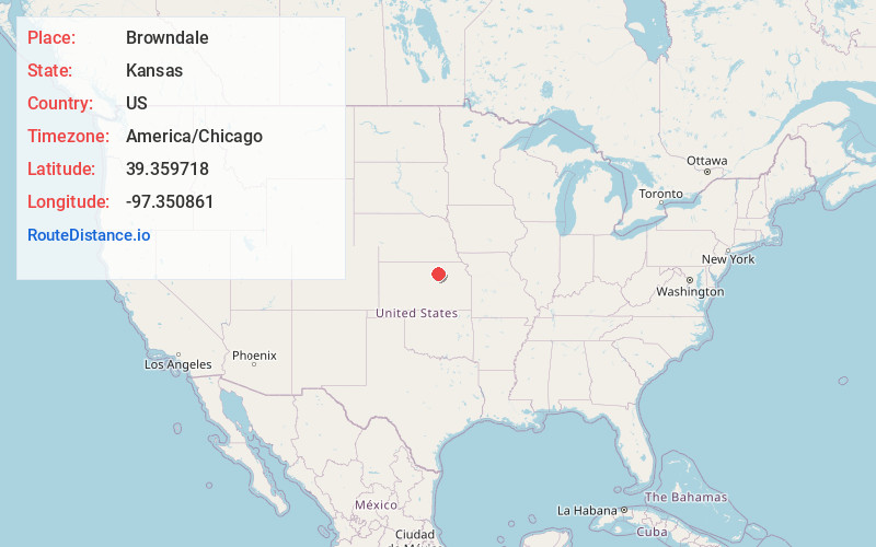
Full AddressBrowndale, Five Creeks Township, KS 67432
-
Coordinates39.3597181, -97.3508613
-
LocationFive Creeks Township , Kansas , US
-
TimezoneAmerica/Chicago
-
Current Local Time6:38:05 PM America/ChicagoFriday, June 20, 2025
-
Page Views0
About Browndale
Browndale is a ghost town in Clay County, Kansas, United States. It is located at 39°21′35″N 97°21′03″W.
Nearby Places
Found 10 places within 50 miles

Miltonvale
5.2 mi
8.4 km
Miltonvale, KS 67466
Get directions
Oak Hill
7.8 mi
12.6 km
Oak Hill, KS 67432
Get directions
Morganville
10.8 mi
17.4 km
Morganville, KS 67468
Get directions
Aurora
11.6 mi
18.7 km
Aurora, KS 67417
Get directions

Clay Center
12.1 mi
19.5 km
Clay Center, KS 67432
Get directions

Longford
13.2 mi
21.2 km
Longford, KS 67458
Get directions
Vining
14.6 mi
23.5 km
Vining, KS 66937
Get directions

Clifton
14.8 mi
23.8 km
Clifton, KS 66937
Get directions
Ames
15.3 mi
24.6 km
Ames, KS
Get directions
Clyde
16.2 mi
26.1 km
Clyde, KS 66938
Get directions
Location Links
Local Weather
Weather Information
Coming soon!
Location Map
Static map view of Browndale, Kansas
Browse Places by Distance
Places within specific distances from Browndale
Short Distances
Long Distances
Click any distance to see all places within that range from Browndale. Distances shown in miles (1 mile ≈ 1.61 kilometers).