Distance to Browndale, Georgia

Calculating Your Route
Just a moment while we process your request...
Location Information
-
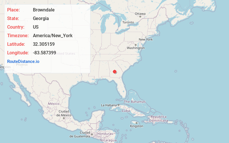
Full AddressBrowndale, GA 31036
-
Coordinates32.3051592, -83.5873991
-
LocationBrowndale , Georgia , US
-
TimezoneAmerica/New_York
-
Current Local Time7:07:28 PM America/New_YorkTuesday, June 3, 2025
-
Page Views0
Nearby Places
Found 10 places within 50 miles

Klondike
3.0 mi
4.8 km
Klondike, GA 31036
Get directions

Hawkinsville
6.9 mi
11.1 km
Hawkinsville, GA 31036
Get directions
Hartford
8.2 mi
13.2 km
Hartford, GA 31036
Get directions

Houston County
8.5 mi
13.7 km
Houston County, GA
Get directions
Goose Neck
8.8 mi
14.2 km
Goose Neck, GA 31036
Get directions
Wallace
9.1 mi
14.6 km
Wallace, GA 31036
Get directions

Unadilla
9.2 mi
14.8 km
Unadilla, GA 31091
Get directions
Pabst
9.6 mi
15.4 km
Pabst, GA 31069
Get directions
Mobley Crossing
10.6 mi
17.1 km
Mobley Crossing, GA 31036
Get directions
Paulk
12.0 mi
19.3 km
Paulk, GA 31014
Get directions
Location Links
Local Weather
Weather Information
Coming soon!
Location Map
Static map view of Browndale, Georgia
Browse Places by Distance
Places within specific distances from Browndale
Short Distances
Long Distances
Click any distance to see all places within that range from Browndale. Distances shown in miles (1 mile ≈ 1.61 kilometers).