Distance to Browning Township, Illinois

Calculating Your Route
Just a moment while we process your request...
Location Information
-
Full AddressBrowning Township, IL
-
Coordinates37.9953962, -88.9988098
-
LocationBrowning Township , Illinois , US
-
TimezoneAmerica/Chicago
-
Current Local Time7:14:47 PM America/ChicagoTuesday, June 3, 2025
-
Page Views0
About Browning Township
Browning Township is one of twelve townships in Franklin County, Illinois, USA. At the 2020 census, its population was 2,436 and it contained 1,161 housing units.


Nearby Places
Found 10 places within 50 miles

Buckner
1.3 mi
2.1 km
Buckner, IL
Get directions

Valier
2.8 mi
4.5 km
Valier, IL
Get directions
Valier Patch
3.0 mi
4.8 km
Valier Patch, Browning Township, IL 62812
Get directions

Christopher
3.4 mi
5.5 km
Christopher, IL
Get directions
North City
3.4 mi
5.5 km
North City, IL
Get directions

West City
3.6 mi
5.8 km
West City, IL 62812
Get directions

Benton
4.3 mi
6.9 km
Benton, IL
Get directions
Cleburne
5.1 mi
8.2 km
Cleburne, IL 62865
Get directions
Orient
5.4 mi
8.7 km
Orient, IL
Get directions
Barren Township
5.8 mi
9.3 km
Barren Township, IL
Get directions
Location Links
Local Weather
Weather Information
Coming soon!
Location Map
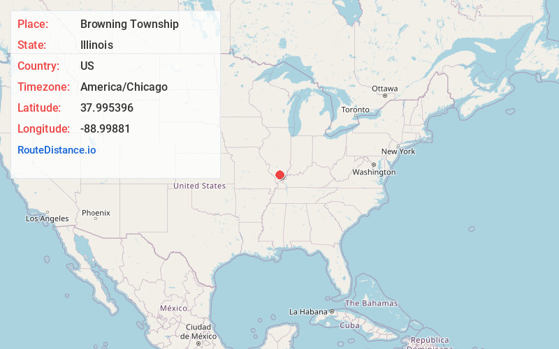
Static map view of Browning Township, Illinois
Browse Places by Distance
Places within specific distances from Browning Township
Short Distances
Long Distances
Click any distance to see all places within that range from Browning Township. Distances shown in miles (1 mile ≈ 1.61 kilometers).