Distance to Brownsboro, Oregon

Calculating Your Route
Just a moment while we process your request...
Location Information
-
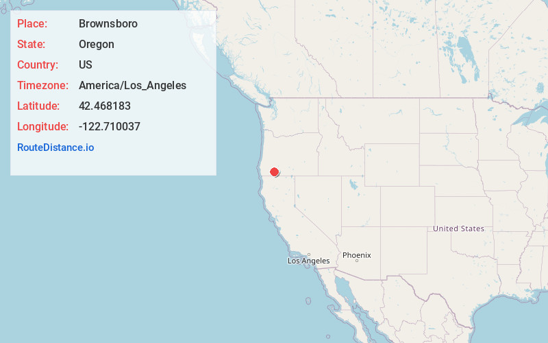
Full AddressBrownsboro, OR 97524
-
Coordinates42.4681827, -122.7100366
-
LocationBrownsboro , Oregon , US
-
TimezoneAmerica/Los_Angeles
-
Current Local Time2:24:49 AM America/Los_AngelesSunday, June 1, 2025
-
Page Views0
About Brownsboro
Brownsboro is an unincorporated community in Jackson County, Oregon, United States, on Oregon Route 140 about 4 miles east of Eagle Point.
The community, along Little Butte Creek, was named in 1853 for Henry R. Brown, who owned the land at this location. A post office called Brownsborough opened here in 1873.
Nearby Places
Found 10 places within 50 miles

Eagle Point
4.7 mi
7.6 km
Eagle Point, OR 97524
Get directions

Lakecreek
5.4 mi
8.7 km
Lakecreek, OR 97524
Get directions

White City
6.9 mi
11.1 km
White City, OR
Get directions

Butte Falls
9.0 mi
14.5 km
Butte Falls, OR
Get directions

Shady Cove
11.4 mi
18.3 km
Shady Cove, OR 97539
Get directions

Central Point
12.3 mi
19.8 km
Central Point, OR
Get directions

Climax
12.8 mi
20.6 km
Climax, OR 97524
Get directions

Medford
13.2 mi
21.2 km
Medford, OR
Get directions

Trail
13.4 mi
21.6 km
Trail, OR
Get directions

Tolo
13.6 mi
21.9 km
Tolo, OR 97502
Get directions
Location Links
Local Weather
Weather Information
Coming soon!
Location Map
Static map view of Brownsboro, Oregon
Browse Places by Distance
Places within specific distances from Brownsboro
Short Distances
Long Distances
Click any distance to see all places within that range from Brownsboro. Distances shown in miles (1 mile ≈ 1.61 kilometers).