Distance to Tolo, Oregon

Calculating Your Route
Just a moment while we process your request...
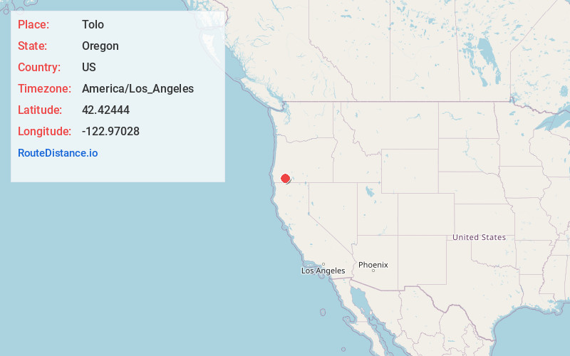
Location Information
-
Full AddressTolo, OR 97502
-
Coordinates42.42444, -122.97028
-
LocationTolo , Oregon , US
-
TimezoneAmerica/Los_Angeles
-
Current Local Time8:55:07 AM America/Los_AngelesFriday, June 13, 2025
-
Page Views0
About Tolo
Tolo is an unincorporated community in Jackson County, Oregon, United States, located north of Interstate 5, between Central Point and Gold Hill, south of Sams Valley. Platted near the site of the Willow Springs mining camp, the town was envisioned to be one of the biggest cities of Southern Oregon.

Nearby Places
Found 10 places within 50 miles

Gold Hill
4.1 mi
6.6 km
Gold Hill, OR 97525
Get directions

Central Point
4.3 mi
6.9 km
Central Point, OR
Get directions

White City
6.9 mi
11.1 km
White City, OR
Get directions

Jacksonville
7.7 mi
12.4 km
Jacksonville, OR 97530
Get directions

Medford
8.5 mi
13.7 km
Medford, OR
Get directions

Foots Creek
8.7 mi
14.0 km
Foots Creek, OR 97525
Get directions

Eagle Point
9.2 mi
14.8 km
Eagle Point, OR 97524
Get directions

Rogue River
10.3 mi
16.6 km
Rogue River, OR
Get directions

Wimer
12.0 mi
19.3 km
Wimer, OR 97537
Get directions

Phoenix
12.9 mi
20.8 km
Phoenix, OR
Get directions
Location Links
Local Weather
Weather Information
Coming soon!
Location Map
Static map view of Tolo, Oregon
Browse Places by Distance
Places within specific distances from Tolo
Short Distances
Long Distances
Click any distance to see all places within that range from Tolo. Distances shown in miles (1 mile ≈ 1.61 kilometers).