Distance to Foots Creek, Oregon

Calculating Your Route
Just a moment while we process your request...
Location Information
-
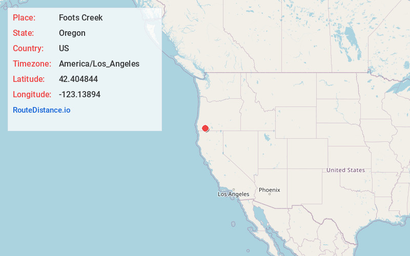
Full AddressFoots Creek, OR 97525
-
Coordinates42.4048437, -123.1389402
-
LocationFoots Creek , Oregon , US
-
TimezoneAmerica/Los_Angeles
-
Current Local Time11:35:59 PM America/Los_AngelesSaturday, June 14, 2025
-
Page Views0
About Foots Creek
Foots Creek is an unincorporated community and census-designated place in Jackson County, in the U.S. state of Oregon. It lies along Oregon Route 99 near the mouth of Foots Creek, where it empties into the Rogue River. Interstate 5 and Valley of the Rogue State Park are on the side of the river opposite Foots Creek.
Nearby Places
Found 10 places within 50 miles

Rogue River
2.7 mi
4.3 km
Rogue River, OR
Get directions

Gold Hill
4.9 mi
7.9 km
Gold Hill, OR 97525
Get directions

Grants Pass
9.9 mi
15.9 km
Grants Pass, OR
Get directions

Jacksonville
10.8 mi
17.4 km
Jacksonville, OR 97530
Get directions

Central Point
11.5 mi
18.5 km
Central Point, OR
Get directions

New Hope
12.0 mi
19.3 km
New Hope, OR 97527
Get directions
Ruch
12.6 mi
20.3 km
Ruch, OR 97530
Get directions

Redwood
12.7 mi
20.4 km
Redwood, OR 97527
Get directions

Medford
14.5 mi
23.3 km
Medford, OR
Get directions

Williams
14.6 mi
23.5 km
Williams, OR 97544
Get directions
Location Links
Local Weather
Weather Information
Coming soon!
Location Map
Static map view of Foots Creek, Oregon
Browse Places by Distance
Places within specific distances from Foots Creek
Short Distances
Long Distances
Click any distance to see all places within that range from Foots Creek. Distances shown in miles (1 mile ≈ 1.61 kilometers).