Distance to Brownstown, Maryland

Calculating Your Route
Just a moment while we process your request...
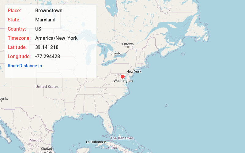
Location Information
-
Full AddressBrownstown, MD 20874
-
Coordinates39.141218, -77.2944282
-
LocationMaryland , US
-
TimezoneAmerica/New_York
-
Current Local Time8:18:23 AM America/New_YorkWednesday, June 18, 2025
-
Page Views0
Nearby Places
Found 10 places within 50 miles

Old Germantown
1.6 mi
2.6 km
Old Germantown, Germantown, MD 20874
Get directions

Germantown
2.5 mi
4.0 km
Germantown, MD
Get directions

Darnestown
2.6 mi
4.2 km
Darnestown, MD
Get directions
Clopper
2.8 mi
4.5 km
Clopper, MD 20878
Get directions

North Potomac
4.4 mi
7.1 km
North Potomac, MD
Get directions

Gaithersburg
5.0 mi
8.0 km
Gaithersburg, MD
Get directions

Montgomery Village
5.3 mi
8.5 km
Montgomery Village, MD
Get directions
Sugarland
5.9 mi
9.5 km
Sugarland, MD 20837
Get directions

Washington Grove
6.4 mi
10.3 km
Washington Grove, MD
Get directions

Clarksburg
6.4 mi
10.3 km
Clarksburg, MD
Get directions
Location Links
Local Weather
Weather Information
Coming soon!
Location Map
Static map view of Brownstown, Maryland
Browse Places by Distance
Places within specific distances from Brownstown
Short Distances
Long Distances
Click any distance to see all places within that range from Brownstown. Distances shown in miles (1 mile ≈ 1.61 kilometers).