Distance to Sugarland, Maryland

Calculating Your Route
Just a moment while we process your request...
Location Information
-
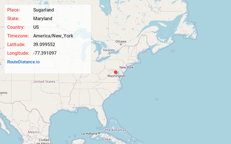
Full AddressSugarland, MD 20837
-
Coordinates39.0995516, -77.3910974
-
LocationMaryland , US
-
TimezoneAmerica/New_York
-
Current Local Time12:36:04 AM America/New_YorkWednesday, June 4, 2025
-
Page Views0
Nearby Places
Found 10 places within 50 miles

Lowes Island
3.4 mi
5.5 km
Lowes Island, VA 20165
Get directions

Poolesville
3.5 mi
5.6 km
Poolesville, MD 20837
Get directions

Lansdowne
4.9 mi
7.9 km
Lansdowne, VA
Get directions
Sugarland Run
5.0 mi
8.0 km
Sugarland Run, VA 20164
Get directions

Darnestown
5.4 mi
8.7 km
Darnestown, MD
Get directions
Belmont
6.2 mi
10.0 km
Belmont, VA 20147
Get directions

Ashburn
6.4 mi
10.3 km
Ashburn, VA
Get directions

Sterling
6.7 mi
10.8 km
Sterling, VA
Get directions
Old Germantown
7.3 mi
11.7 km
Old Germantown, Germantown, MD 20874
Get directions

Germantown
8.2 mi
13.2 km
Germantown, MD
Get directions
Location Links
Local Weather
Weather Information
Coming soon!
Location Map
Static map view of Sugarland, Maryland
Browse Places by Distance
Places within specific distances from Sugarland
Short Distances
Long Distances
Click any distance to see all places within that range from Sugarland. Distances shown in miles (1 mile ≈ 1.61 kilometers).