Distance to Sugarland Run, Virginia

Calculating Your Route
Just a moment while we process your request...
Location Information
-
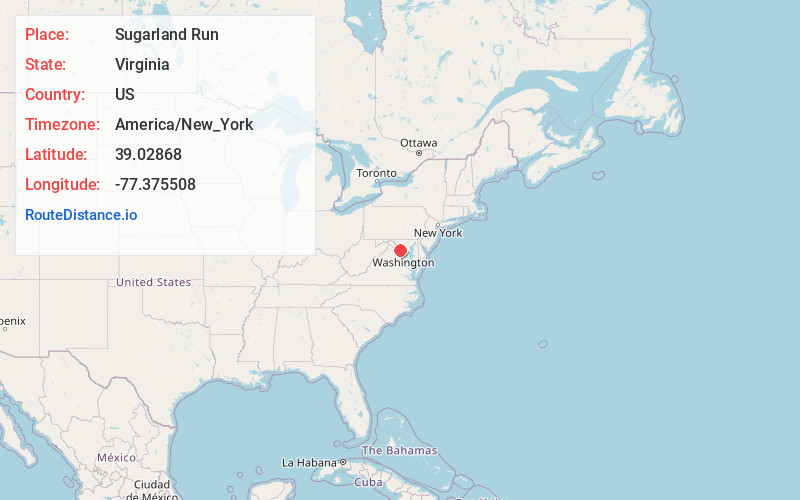
Full AddressSugarland Run, VA 20164
-
Coordinates39.0286798, -77.3755084
-
LocationSugarland Run , Virginia , US
-
TimezoneAmerica/New_York
-
Current Local Time9:28:51 AM America/New_YorkThursday, June 19, 2025
-
Page Views0
About Sugarland Run
Sugarland Run is a planned community and census-designated place in Loudoun County, Virginia, United States. The population at the 2010 census was 11,799. In 2020, it was estimated to be 12,956. Sugarland Run is part of the Washington metropolitan area and is 26 miles by road northwest of Washington, D.C.
Nearby Places
Found 10 places within 50 miles

Sterling
3.3 mi
5.3 km
Sterling, VA
Get directions

Herndon
4.1 mi
6.6 km
Herndon, VA 20170
Get directions

Reston
4.9 mi
7.9 km
Reston, VA
Get directions

Great Falls
5.1 mi
8.2 km
Great Falls, VA
Get directions

McNair
5.7 mi
9.2 km
McNair, VA
Get directions

Ashburn
6.1 mi
9.8 km
Ashburn, VA
Get directions

Lansdowne
6.7 mi
10.8 km
Lansdowne, VA
Get directions

Broadlands
7.8 mi
12.6 km
Broadlands, VA
Get directions

Wolf Trap
8.4 mi
13.5 km
Wolf Trap, VA
Get directions

Brambleton
8.8 mi
14.2 km
Brambleton, VA
Get directions
Location Links
Local Weather
Weather Information
Coming soon!
Location Map
Static map view of Sugarland Run, Virginia
Browse Places by Distance
Places within specific distances from Sugarland Run
Short Distances
Long Distances
Click any distance to see all places within that range from Sugarland Run. Distances shown in miles (1 mile ≈ 1.61 kilometers).