Distance to Herndon, Virginia

Calculating Your Route
Just a moment while we process your request...
Location Information
-
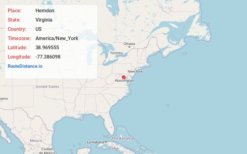
Full AddressHerndon, VA 20170
-
Coordinates38.9695545, -77.3860976
-
LocationHerndon , Virginia , US
-
TimezoneAmerica/New_York
-
Current Local Time2:26:43 PM America/New_YorkTuesday, July 1, 2025
-
Website
-
Page Views0
About Herndon
Herndon is a town in Fairfax County, Virginia, United States. Located in Northern Virginia, it is part of the Washington, D.C. metropolitan area. In 2020, the population at the census was 24,655, which makes it the largest of three incorporated towns in the county.


Nearby Places
Found 10 places within 50 miles

Reston
1.7 mi
2.7 km
Reston, VA
Get directions

Sterling
3.5 mi
5.6 km
Sterling, VA
Get directions

Chantilly
6.4 mi
10.3 km
Chantilly, VA
Get directions

South Riding
7.2 mi
11.6 km
South Riding, VA 20152
Get directions

Ashburn
7.5 mi
12.1 km
Ashburn, VA
Get directions

Oakton
7.6 mi
12.2 km
Oakton, VA
Get directions

Tysons
9.0 mi
14.5 km
Tysons, VA
Get directions

Centreville
9.2 mi
14.8 km
Centreville, VA
Get directions

Potomac
10.1 mi
16.3 km
Potomac, MD
Get directions

McLean
11.5 mi
18.5 km
McLean, VA
Get directions
Location Links
Local Weather
Weather Information
Coming soon!
Location Map
Static map view of Herndon, Virginia
Browse Places by Distance
Places within specific distances from Herndon
Short Distances
Long Distances
Click any distance to see all places within that range from Herndon. Distances shown in miles (1 mile ≈ 1.61 kilometers).