Distance to Chantilly, Virginia

Calculating Your Route
Just a moment while we process your request...
Location Information
-
Full AddressChantilly, VA
-
Coordinates38.8869819, -77.4390375
-
LocationChantilly , Virginia , US
-
TimezoneAmerica/New_York
-
Current Local Time12:49:24 PM America/New_YorkSaturday, May 31, 2025
-
Page Views0
About Chantilly
Chantilly is a census-designated place in western Fairfax County, Virginia, United States. The population was 24,301 as of the 2020 census. Chantilly is named after an early-19th-century mansion and farm, which in turn took the name of an 18th-century plantation that was located in Westmoreland County, Virginia.


Nearby Places
Found 10 places within 50 miles

Centreville
3.3 mi
5.3 km
Centreville, VA
Get directions

South Riding
3.6 mi
5.8 km
South Riding, VA 20152
Get directions

Reston
6.6 mi
10.6 km
Reston, VA
Get directions

Oakton
7.4 mi
11.9 km
Oakton, VA
Get directions

Sterling
8.3 mi
13.4 km
Sterling, VA
Get directions

Manassas
9.5 mi
15.3 km
Manassas, VA
Get directions

Burke
11.1 mi
17.9 km
Burke, VA
Get directions

Ashburn
11.1 mi
17.9 km
Ashburn, VA
Get directions

Tysons
11.4 mi
18.3 km
Tysons, VA
Get directions

Annandale
13.6 mi
21.9 km
Annandale, VA
Get directions
Location Links
Local Weather
Weather Information
Coming soon!
Location Map
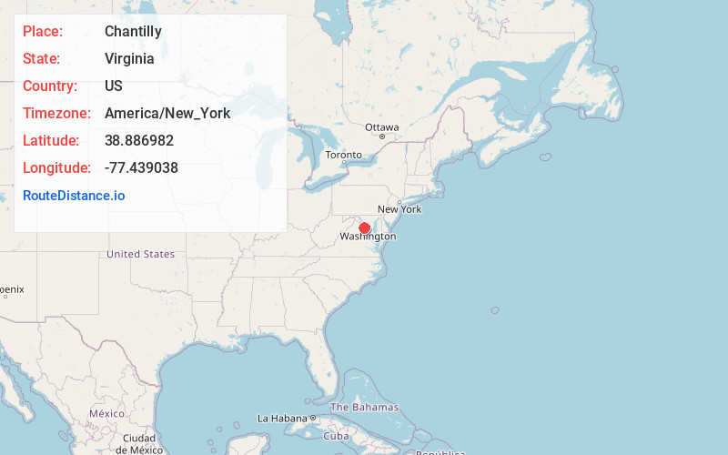
Static map view of Chantilly, Virginia
Browse Places by Distance
Places within specific distances from Chantilly
Short Distances
Long Distances
Click any distance to see all places within that range from Chantilly. Distances shown in miles (1 mile ≈ 1.61 kilometers).