Distance to Manassas, Virginia

Calculating Your Route
Just a moment while we process your request...
Location Information
-
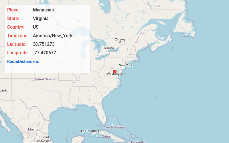
Full AddressManassas, VA
-
Coordinates38.7512726, -77.4706769
-
LocationManassas , Virginia , US
-
TimezoneAmerica/New_York
-
Current Local Time5:20:10 AM America/New_YorkWednesday, June 18, 2025
-
Website
-
Page Views1
About Manassas
Manassas is a town in northern Virginia. It’s known for the Manassas National Battlefield Park, site of 2 major Civil War battles and a landmark stone bridge, rebuilt in 1884. The Manassas Museum has exhibits on the Civil War and local history. Classical music, opera and theater are staged at the Hylton Performing Arts Center. Ben Lomond Historic Site features a Federal-style plantation house and a rose garden.


Nearby Places
Found 10 places within 50 miles

Centreville
6.6 mi
10.6 km
Centreville, VA
Get directions

Burke
11.1 mi
17.9 km
Burke, VA
Get directions

Dale City
11.7 mi
18.8 km
Dale City, VA
Get directions

Reston
15.6 mi
25.1 km
Reston, VA
Get directions

McLean
20.2 mi
32.5 km
McLean, VA
Get directions

Ashburn
20.2 mi
32.5 km
Ashburn, VA
Get directions

Potomac
23.2 mi
37.3 km
Potomac, MD
Get directions

Arlington National Cemetery
23.2 mi
37.3 km
Arlington National Cemetery, Arlington, VA
Get directions

Alexandria
23.3 mi
37.5 km
Alexandria, VA
Get directions

Leesburg
25.7 mi
41.4 km
Leesburg, VA
Get directions
Location Links
Local Weather
Weather Information
Coming soon!
Location Map
Static map view of Manassas, Virginia
Browse Places by Distance
Places within specific distances from Manassas
Short Distances
Long Distances
Click any distance to see all places within that range from Manassas. Distances shown in miles (1 mile ≈ 1.61 kilometers).