Distance to and from Brambleton, Virginia
Brambleton, VA
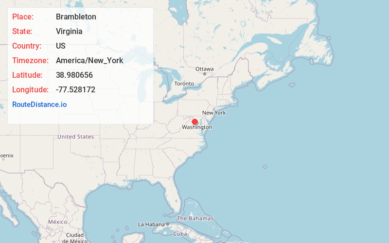
Brambleton
Virginia
US
America/New_York
Location Information
-
Full AddressBrambleton, VA
-
Coordinates38.9806557, -77.5281723
-
LocationBrambleton , Virginia , US
-
TimezoneAmerica/New_York
-
Current Local Time7:00:21 AM America/New_YorkSunday, May 4, 2025
-
Page Views0
Directions to Nearest Cities
About Brambleton
Brambleton is a census-designated place in Loudoun County, Virginia, United States, south of the Dulles Greenway. The population as of the 2010 United States Census was 9,845. In 2017, Brambleton had an estimated population of 19,900, with a median age of 34.3 and a median household income of $173,690.


Nearby Places
Found 10 places within 50 miles

Ashburn
4.9 mi
7.9 km
Ashburn, VA
Get directions

South Riding
5.0 mi
8.0 km
South Riding, VA 20152
Get directions

Sterling
5.6 mi
9.0 km
Sterling, VA
Get directions

Herndon
7.7 mi
12.4 km
Herndon, VA 20170
Get directions

Chantilly
8.1 mi
13.0 km
Chantilly, VA
Get directions

Reston
9.3 mi
15.0 km
Reston, VA
Get directions

Leesburg
9.5 mi
15.3 km
Leesburg, VA
Get directions

Centreville
11.1 mi
17.9 km
Centreville, VA
Get directions

Oakton
14.0 mi
22.5 km
Oakton, VA
Get directions

Fairfax
15.2 mi
24.5 km
Fairfax, VA
Get directions
Ashburn
4.9 mi
7.9 km
Ashburn, VA
South Riding
5.0 mi
8.0 km
South Riding, VA 20152
Sterling
5.6 mi
9.0 km
Sterling, VA
Herndon
7.7 mi
12.4 km
Herndon, VA 20170
Chantilly
8.1 mi
13.0 km
Chantilly, VA
Reston
9.3 mi
15.0 km
Reston, VA
Leesburg
9.5 mi
15.3 km
Leesburg, VA
Centreville
11.1 mi
17.9 km
Centreville, VA
Oakton
14.0 mi
22.5 km
Oakton, VA
Fairfax
15.2 mi
24.5 km
Fairfax, VA
Location Links
Local Weather
Weather Information
Coming soon!
Location Map
Static map view of Brambleton, Virginia
Browse Places by Distance
Places within specific distances from Brambleton
Short Distances
Long Distances
Click any distance to see all places within that range from Brambleton. Distances shown in miles (1 mile ≈ 1.61 kilometers).