Distance to Broxton, Georgia

Calculating Your Route
Just a moment while we process your request...
Location Information
-
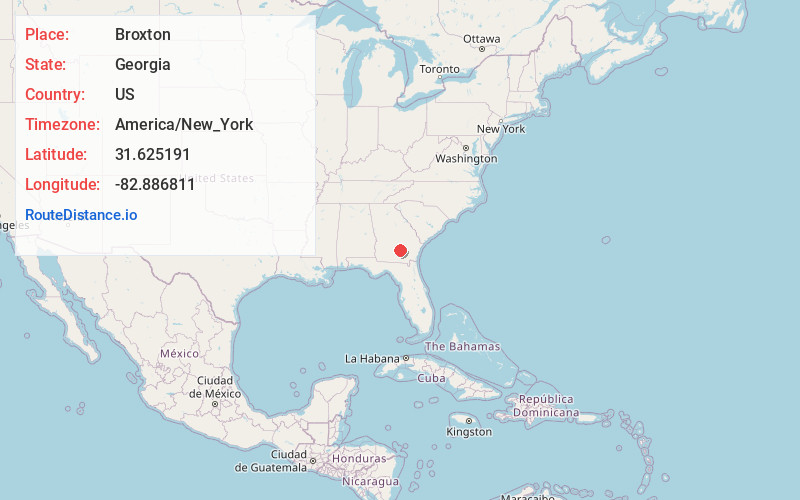
Full AddressBroxton, GA 31519
-
Coordinates31.6251911, -82.8868113
-
LocationBroxton , Georgia , US
-
TimezoneAmerica/New_York
-
Current Local Time2:13:48 AM America/New_YorkFriday, June 20, 2025
-
Page Views0
About Broxton
Broxton is a city in Coffee County, Georgia, United States. Per the 2020 census, the population was 1,060. It is known for its unique sandstone formation called Broxton Rocks along Rocky Creek 10 miles north of town.


Nearby Places
Found 10 places within 50 miles

Douglas
8.3 mi
13.4 km
Douglas, GA
Get directions

Nicholls
16.6 mi
26.7 km
Nicholls, GA 31554
Get directions

Ocilla
21.5 mi
34.6 km
Ocilla, GA 31774
Get directions

Willacoochee
21.8 mi
35.1 km
Willacoochee, GA
Get directions

Fitzgerald
22.4 mi
36.0 km
Fitzgerald, GA 31750
Get directions

Pearson
22.7 mi
36.5 km
Pearson, GA 31642
Get directions

Hazlehurst
24.1 mi
38.8 km
Hazlehurst, GA 31539
Get directions

Lumber City
24.3 mi
39.1 km
Lumber City, GA
Get directions

Alma
25.7 mi
41.4 km
Alma, GA 31510
Get directions

Enigma
29.9 mi
48.1 km
Enigma, GA 31749
Get directions
Location Links
Local Weather
Weather Information
Coming soon!
Location Map
Static map view of Broxton, Georgia
Browse Places by Distance
Places within specific distances from Broxton
Short Distances
Long Distances
Click any distance to see all places within that range from Broxton. Distances shown in miles (1 mile ≈ 1.61 kilometers).