Distance to Willacoochee, Georgia

Calculating Your Route
Just a moment while we process your request...
Location Information
-
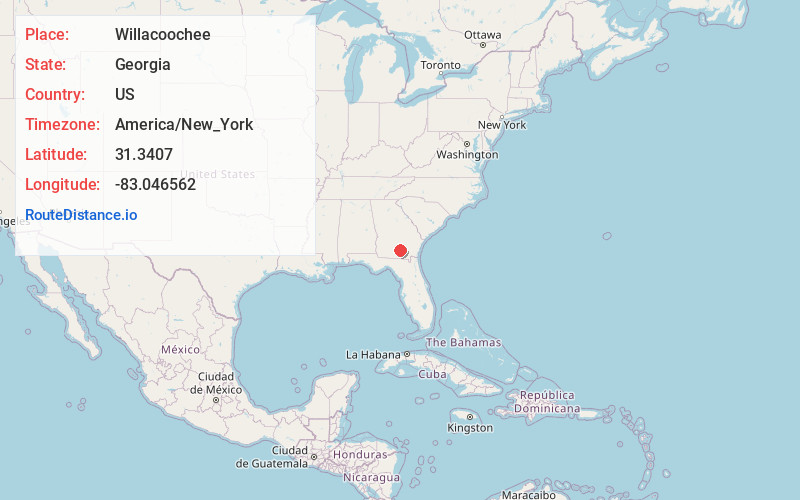
Full AddressWillacoochee, GA
-
Coordinates31.3406999, -83.0465617
-
LocationWillacoochee , Georgia , US
-
TimezoneAmerica/New_York
-
Current Local Time5:38:21 AM America/New_YorkWednesday, June 18, 2025
-
Website
-
Page Views0
About Willacoochee
Willacoochee is a city in Atkinson County, Georgia, United States, along the Alapaha River. The population was 1,240 in 2020.


Nearby Places
Found 10 places within 50 miles

Pearson
11.8 mi
19.0 km
Pearson, GA 31642
Get directions

Nashville
15.1 mi
24.3 km
Nashville, GA 31639
Get directions

Douglas
16.4 mi
26.4 km
Douglas, GA
Get directions

Lakeland
20.8 mi
33.5 km
Lakeland, GA 31635
Get directions

Ocilla
21.3 mi
34.3 km
Ocilla, GA 31774
Get directions
Sparks
26.0 mi
41.8 km
Sparks, GA
Get directions

Adel
26.3 mi
42.3 km
Adel, GA 31620
Get directions
Nicholls
27.2 mi
43.8 km
Nicholls, GA 31554
Get directions

Homerville
27.5 mi
44.3 km
Homerville, GA 31634
Get directions
Unionville
28.1 mi
45.2 km
Unionville, GA 31794
Get directions
Location Links
Local Weather
Weather Information
Coming soon!
Location Map
Static map view of Willacoochee, Georgia
Browse Places by Distance
Places within specific distances from Willacoochee
Short Distances
Long Distances
Click any distance to see all places within that range from Willacoochee. Distances shown in miles (1 mile ≈ 1.61 kilometers).