Distance to Homerville, Georgia

Calculating Your Route
Just a moment while we process your request...
Location Information
-
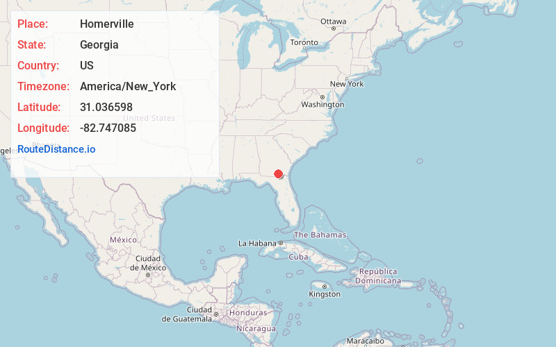
Full AddressHomerville, GA 31634
-
Coordinates31.0365983, -82.7470849
-
LocationHomerville , Georgia , US
-
TimezoneAmerica/New_York
-
Current Local Time2:23:56 AM America/New_YorkMonday, May 19, 2025
-
Page Views0
About Homerville
Homerville is a city and the county seat of Clinch County, Georgia, United States. Its population was 2,456 at the 2010 census, a decrease of 12.38% from 2,803 in 2000. It was incorporated February 15, 1869.


Nearby Places
Found 10 places within 50 miles

Lakeland
19.4 mi
31.2 km
Lakeland, GA 31635
Get directions

Waycross
26.3 mi
42.3 km
Waycross, GA
Get directions

Deenwood
26.5 mi
42.6 km
Deenwood, GA
Get directions
Bemiss
30.1 mi
48.4 km
Bemiss, GA 31605
Get directions
Nashville
32.0 mi
51.5 km
Nashville, GA 31639
Get directions

Douglas
33.2 mi
53.4 km
Douglas, GA
Get directions
Nicholls
33.9 mi
54.6 km
Nicholls, GA 31554
Get directions

Valdosta
34.4 mi
55.4 km
Valdosta, GA
Get directions

Blackshear
35.2 mi
56.6 km
Blackshear, GA 31516
Get directions

Hahira
37.2 mi
59.9 km
Hahira, GA 31632
Get directions
Location Links
Local Weather
Weather Information
Coming soon!
Location Map
Static map view of Homerville, Georgia
Browse Places by Distance
Places within specific distances from Homerville
Short Distances
Long Distances
Click any distance to see all places within that range from Homerville. Distances shown in miles (1 mile ≈ 1.61 kilometers).