Distance to Brundage, Texas

Calculating Your Route
Just a moment while we process your request...
Location Information
-
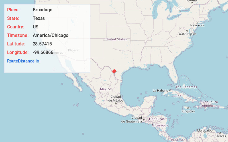
Full AddressBrundage, TX 78834
-
Coordinates28.5741496, -99.6686601
-
LocationBrundage , Texas , US
-
TimezoneAmerica/Chicago
-
Current Local Time9:00:42 PM America/ChicagoSunday, June 29, 2025
-
Page Views0
About Brundage
Brundage is an unincorporated community and census-designated place in Dimmit County, Texas, United States. The population was 12 at the 2020 census.

Nearby Places
Found 10 places within 50 miles

Big Wells
6.1 mi
9.8 km
Big Wells, TX 78830
Get directions

Asherton
10.6 mi
17.1 km
Asherton, TX 78827
Get directions
Carrizo Hill
10.9 mi
17.5 km
Carrizo Hill, TX 78834
Get directions

Crystal City
12.0 mi
19.3 km
Crystal City, TX 78839
Get directions

Carrizo Springs
12.2 mi
19.6 km
Carrizo Springs, TX 78834
Get directions
Loma Grande Colonia
14.3 mi
23.0 km
Loma Grande Colonia, Loma Grande, TX 78839
Get directions

Catarina
16.1 mi
25.9 km
Catarina, TX 78836
Get directions

Batesville
26.2 mi
42.2 km
Batesville, TX 78829
Get directions

La Pryor
27.6 mi
44.4 km
La Pryor, TX 78872
Get directions

Cotulla
28.0 mi
45.1 km
Cotulla, TX 78014
Get directions
Location Links
Local Weather
Weather Information
Coming soon!
Location Map
Static map view of Brundage, Texas
Browse Places by Distance
Places within specific distances from Brundage
Short Distances
Long Distances
Click any distance to see all places within that range from Brundage. Distances shown in miles (1 mile ≈ 1.61 kilometers).