Distance to Asherton, Texas

Calculating Your Route
Just a moment while we process your request...
Location Information
-
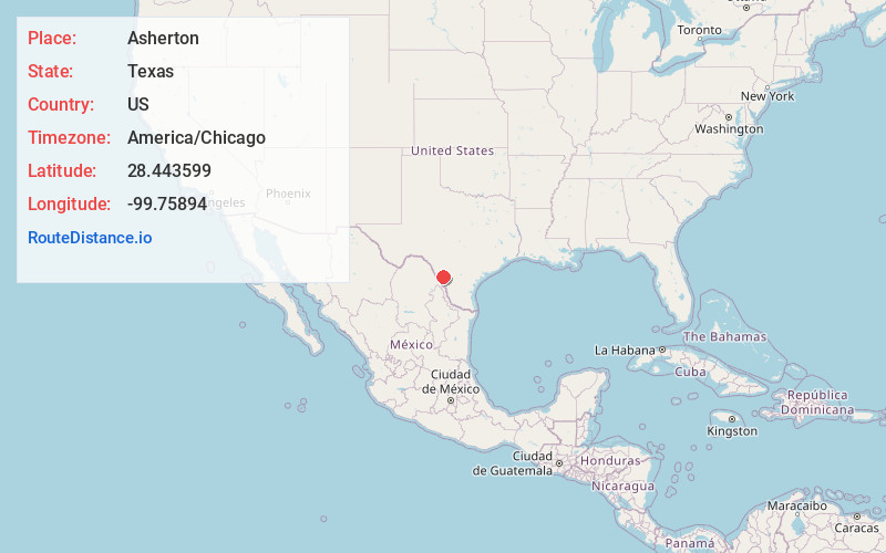
Full AddressAsherton, TX 78827
-
Coordinates28.4435988, -99.7589404
-
LocationAsherton , Texas , US
-
TimezoneAmerica/Chicago
-
Current Local Time6:19:51 PM America/ChicagoSunday, June 29, 2025
-
Page Views0
About Asherton
Asherton is a city in Dimmit County, Texas, United States. The population was 722 at the 2020 census, down from 1,084 at the 2010 census. U.S. Highway 83 passes through Asherton.

Nearby Places
Found 10 places within 50 miles

Carrizo Hill
6.0 mi
9.7 km
Carrizo Hill, TX 78834
Get directions

Carrizo Springs
8.2 mi
13.2 km
Carrizo Springs, TX 78834
Get directions

Crystal City
16.7 mi
26.9 km
Crystal City, TX 78839
Get directions

Cotulla
31.8 mi
51.2 km
Cotulla, TX 78014
Get directions

La Pryor
34.8 mi
56.0 km
La Pryor, TX 78872
Get directions

Batesville
36.1 mi
58.1 km
Batesville, TX 78829
Get directions
Encinal
37.1 mi
59.7 km
Encinal, TX 78019
Get directions

Dilley
38.9 mi
62.6 km
Dilley, TX 78017
Get directions
Rosita South
42.8 mi
68.9 km
Rosita South, TX 78852
Get directions
Rosita North
42.8 mi
68.9 km
Rosita North, TX 78852
Get directions
Location Links
Local Weather
Weather Information
Coming soon!
Location Map
Static map view of Asherton, Texas
Browse Places by Distance
Places within specific distances from Asherton
Short Distances
Long Distances
Click any distance to see all places within that range from Asherton. Distances shown in miles (1 mile ≈ 1.61 kilometers).