Distance to Brunswick County, North Carolina

Calculating Your Route
Just a moment while we process your request...
Location Information
-
Full AddressBrunswick County, NC
-
Coordinates34.0275398, -78.2020387
-
LocationNorth Carolina , US
-
TimezoneAmerica/New_York
-
Current Local Time1:50:06 AM America/New_YorkTuesday, June 17, 2025
-
Website
-
Page Views0
About Brunswick County
Brunswick County is a county located in the U.S. state of North Carolina. It is the southernmost county in the state. As of the 2020 census, the population was 136,693. Its population was only 73,143 in 2000, making it one of the fastest-growing counties in the state.


Nearby Places
Found 10 places within 50 miles

St James
7.3 mi
11.7 km
St James, NC 28461
Get directions

Oak Island
7.8 mi
12.6 km
Oak Island, NC
Get directions
Shallotte
10.5 mi
16.9 km
Shallotte, NC
Get directions

Southport
12.9 mi
20.8 km
Southport, NC 28461
Get directions

Leland
16.9 mi
27.2 km
Leland, NC
Get directions

Kure Beach
17.0 mi
27.4 km
Kure Beach, NC
Get directions

Carolina Beach
17.7 mi
28.5 km
Carolina Beach, NC 28428
Get directions

Sea Breeze
18.0 mi
29.0 km
Sea Breeze, NC
Get directions

Belville
18.5 mi
29.8 km
Belville, NC 28451
Get directions

Silver Lake
18.5 mi
29.8 km
Silver Lake, NC 28412
Get directions
Location Links
Local Weather
Weather Information
Coming soon!
Location Map
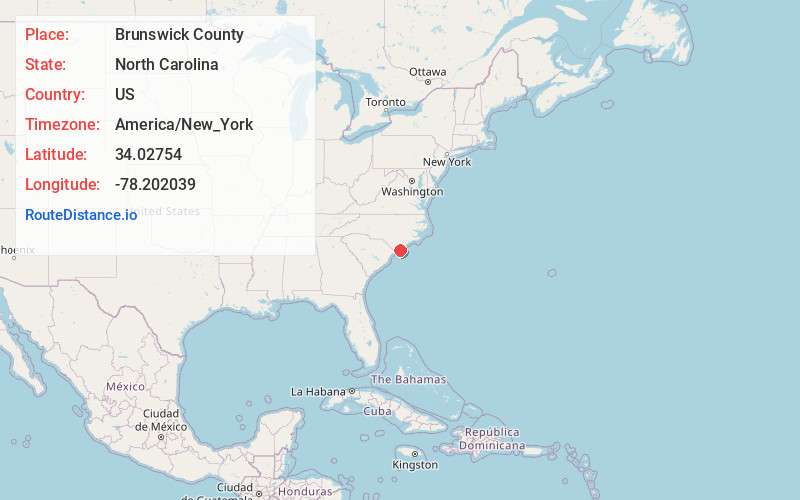
Static map view of Brunswick County, North Carolina
Browse Places by Distance
Places within specific distances from Brunswick County
Short Distances
Long Distances
Click any distance to see all places within that range from Brunswick County. Distances shown in miles (1 mile ≈ 1.61 kilometers).