Distance to Bryantsburg, Iowa

Calculating Your Route
Just a moment while we process your request...
Location Information
-
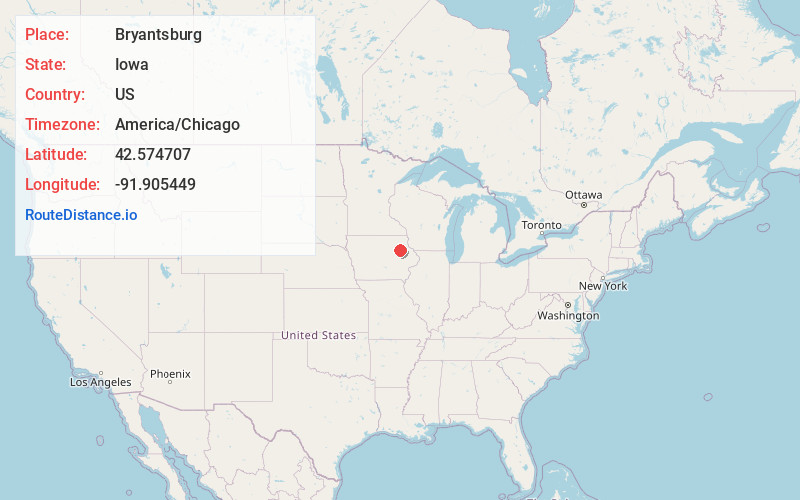
Full AddressBryantsburg, IA 50641
-
Coordinates42.5747072, -91.9054486
-
LocationIowa , US
-
TimezoneAmerica/Chicago
-
Current Local Time5:54:53 AM America/ChicagoSunday, June 1, 2025
-
Page Views0
About Bryantsburg
Bryantsburg is an unincorporated community in Buchanan County, Iowa, United States. It is located on Highway 150 north of Independence and south of Hazleton, at 42.579132N, -91.905063W.
Nearby Places
Found 10 places within 50 miles

Hazleton
3.0 mi
4.8 km
Hazleton, IA 50641
Get directions

Otterville
5.0 mi
8.0 km
Otterville, IA 50644
Get directions

Stanley
6.7 mi
10.8 km
Stanley, IA 50671
Get directions

Oelwein
7.2 mi
11.6 km
Oelwein, IA 50662
Get directions

Independence
7.4 mi
11.9 km
Independence, IA 50644
Get directions

Fairbank
8.5 mi
13.7 km
Fairbank, IA 50629
Get directions
Aurora
9.5 mi
15.3 km
Aurora, IA 50607
Get directions
Jesup
10.6 mi
17.1 km
Jesup, IA 50648
Get directions

Winthrop
11.2 mi
18.0 km
Winthrop, IA 50682
Get directions
Oran
12.3 mi
19.8 km
Oran, IA
Get directions
Location Links
Local Weather
Weather Information
Coming soon!
Location Map
Static map view of Bryantsburg, Iowa
Browse Places by Distance
Places within specific distances from Bryantsburg
Short Distances
Long Distances
Click any distance to see all places within that range from Bryantsburg. Distances shown in miles (1 mile ≈ 1.61 kilometers).