Distance to Buchanan, Ohio

Calculating Your Route
Just a moment while we process your request...
Location Information
-
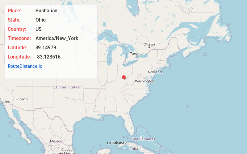
Full AddressBuchanan, Pebble Township, OH 45690
-
Coordinates39.1497898, -83.1235159
-
LocationPebble Township , Ohio , US
-
TimezoneAmerica/New_York
-
Current Local Time11:23:17 PM America/New_YorkTuesday, May 20, 2025
-
Page Views0
About Buchanan
Buchanan is an unincorporated community in Pebble Township, Pike County, Ohio, United States. It shares nearby Waverly, Ohio's ZIP code 45690. It lies along State Route 772.
The community was named after James Buchanan, 15th President of the United States.
Nearby Places
Found 10 places within 50 miles

Nipgen
3.2 mi
5.1 km
Nipgen, OH 45612
Get directions
Minnehan Bend
4.5 mi
7.2 km
Minnehan Bend, Twin Township, OH 45612
Get directions
Tennyson
6.6 mi
10.6 km
Tennyson, Newton Township, OH 45661
Get directions
Latham
7.5 mi
12.1 km
Latham, OH 45646
Get directions

Waverly
7.6 mi
12.2 km
Waverly, OH 45690
Get directions
Jasper
7.8 mi
12.6 km
Jasper, OH 45661
Get directions
Paint Valley Local School District
8.1 mi
13.0 km
Paint Valley Local School District, OH
Get directions

Piketon
8.1 mi
13.0 km
Piketon, OH 45661
Get directions
Lapperell Hollow
8.9 mi
14.3 km
Lapperell Hollow, Mifflin Township, OH 45660
Get directions
Greggs Hill
8.9 mi
14.3 km
Greggs Hill, Seal Township, OH 45690
Get directions
Location Links
Local Weather
Weather Information
Coming soon!
Location Map
Static map view of Buchanan, Ohio
Browse Places by Distance
Places within specific distances from Buchanan
Short Distances
Long Distances
Click any distance to see all places within that range from Buchanan. Distances shown in miles (1 mile ≈ 1.61 kilometers).