Distance to Greggs Hill, Ohio

Calculating Your Route
Just a moment while we process your request...
Location Information
-
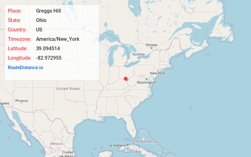
Full AddressGreggs Hill, Seal Township, OH 45690
-
Coordinates39.0945136, -82.9729545
-
LocationSeal Township , Ohio , US
-
TimezoneAmerica/New_York
-
Current Local Time4:07:09 PM America/New_YorkWednesday, June 18, 2025
-
Page Views0
Nearby Places
Found 10 places within 50 miles

Rehm
2.2 mi
3.5 km
Rehm, Seal Township, OH 45690
Get directions

Waverly
2.3 mi
3.7 km
Waverly, OH 45690
Get directions
Seal Township
2.6 mi
4.2 km
Seal Township, OH
Get directions

Piketon
2.9 mi
4.7 km
Piketon, OH 45661
Get directions
Givens
3.9 mi
6.3 km
Givens, Beaver Township, OH 45690
Get directions

Beaver
9.1 mi
14.6 km
Beaver, OH 45613
Get directions
Camp Creek
11.1 mi
17.9 km
Camp Creek, Ohio 45648
Get directions
Richmond Dale
11.3 mi
18.2 km
Richmond Dale, OH
Get directions
Stockdale
11.4 mi
18.3 km
Stockdale, OH 45613
Get directions
Three Locks
11.5 mi
18.5 km
Three Locks, Franklin Township, OH 45601
Get directions
Location Links
Local Weather
Weather Information
Coming soon!
Location Map
Static map view of Greggs Hill, Ohio
Browse Places by Distance
Places within specific distances from Greggs Hill
Short Distances
Long Distances
Click any distance to see all places within that range from Greggs Hill. Distances shown in miles (1 mile ≈ 1.61 kilometers).